First rule for two people driving a 2,500 mile road trip is “Do not criticize the other person’s driving!”
I broke that rule about one hour out of Denver when Kelley tried to accelerate up a steep grade by pushing the pedal to the metal to pass a truck. I watched the RPM gauge almost touch red as the car struggled in the high altitude of the Colorado Rockies to muster all its V-6 power going uphill with little acceleration effect.
The first exit she saw placed me in the driver’s seat for the next two days of driving back to California.
The driving effort meant double duty since Kelley refuses to take photos when I drive, or actually triple duty since motion sickness inhibits her ability to read a map as a car passenger.
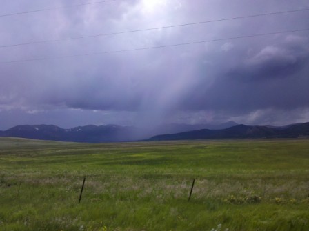
South Park is about 1,000 square miles of grasslands in the high elevation basin valley beneath the high peaks of the Rockies. The land is gorgeous viewing during a car drive, even when the weather is ominously closing off the mid-day sky in darkness. The mountain storms had wreaked havoc on Aspen just the day before and flash flooding had been a persistent problem for the previous three weeks in the Colorado Rockies and Great Basin region of the west during the month of July.
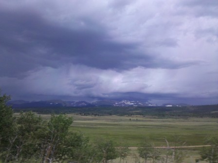
At one point I hit a rain downpour so intense I couldn’t see out my car window at all with the windshield wipers on full speed. The rain puddled up on the pavement within seconds to create hydroplaning conditions and there was no shoulder on Highway 285 to pull off the road. Fortunately the road was straight and no other vehicles barreled down on my car as I dropped the speed from 60mph to about 25 mph. I drove out of the hard rain in about a minute.
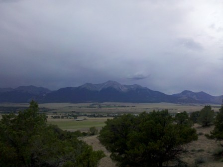
The lack of a navigator resulted in my missing the Highway 24 cutoff road to Aspen and having to backtrack ten miles north along Highway 285. The sky was still filled with dark storm clouds all around the mountains as we headed to higher elevations.
The small town of Buena Vista, Colorado on Highway 24 is aptly named for its beautiful view of the 14,000+ ft. mountains of the Collegiate Peaks. The Best Western Plus Buena Vista hotel sits at 8,000 feet in elevation and provides a good stopover place for outdoors activities in the rugged mountains nearby or white water rafting on the Arkansas River.
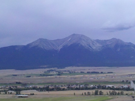
Highway 24 north of Buena Vista goes to Leadville, the historic silver mining town at 10,152 feet elevation with the distinction of being the highest altitude incorporated town in the U.S. In the late 19th century Leadville had a population only exceeded by Denver, Colorado in the state. The inclement weather and late afternoon hour kept Leadville off our itinerary.
Highway 82 is the road to Aspen and Glenwood Springs with one terminus on Highway 24 about midway between Buena Vista and Leadville.
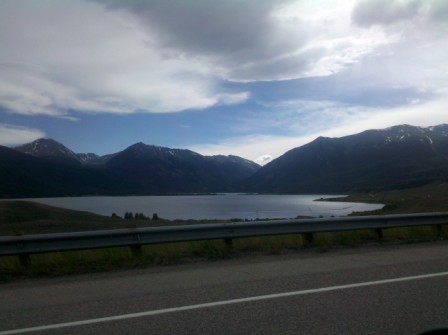
The weather turned brighter as we drove the road to Aspen. There was no better time for the rain clouds to dissipate as we entered the rugged valley and climbed Highway 82 to Independence Pass where the Continental Divide marker at 12,095 feet designates the east-west geologic feature where rivers originating in these mountains flow east to the Gulf of Mexico (Atlantic Ocean) or flow west to the Pacific Ocean.
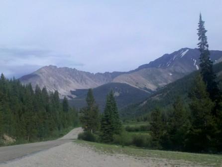
As we drove Highway 82 I mentioned to Kelley that this road would be ideal for a cycling race. Low and behold, the USA ProCycling Challenge 2011 did exactly that August 24, 2011 in Stage 2 from Gunnison to Aspen in the seven day race August 22-28 around the state of Colorado.
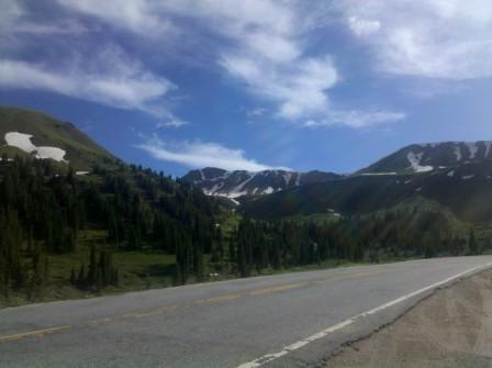
The USA ProCycling stage description of this road states cyclists have only 60% of the oxygen at Independence Pass compared to sea level. Kelley and I live at sea level here in Monterey and she felt poorly at Independence Pass. The altitude made me feel high on several levels, but not too high to drive downhill to Aspen.
We watched the USA Pro Cycling Challenge in August and I saw several miles of gravel road I drove downhill just outside of Aspen was a temporary road condition since Highway 82 was newly paved when cyclists came down the mountains from Independence Pass at speeds over 50 mph in places. Congratulations to George Hincapie, winner of Stage 2 USA Pro Cycling Challenge Aspen finish who may become the all-time Tour de France longevity racer next summer if he races his 17th Tour.
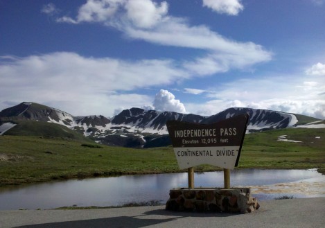
This post includes some of the photos I took with my Droid phone camera since my primary camera broke on the second day of this 12 day road trip.
Brokeass Mountain Road Trip, July 2011
Monterey, California – Denver, Colorado
- Yosemite’s Tioga Pass Road across the Sierra Nevada Mountains
- Westin Monache Resort Mammoth for year round vacations
- Even Lonelier than the Loneliest Road in America
- Earth’s Oldest Trees in Great Basin National Park Nevada
- Less extreme than 127 Hours in Utah
- Brokeass Mountain Tour eastbound – Hotel Value at High Elevation
- Brokeass Mountain Tour visits Starwood in Denver
- Driving by the 14ers South Park to Aspen, Colorado
- Top of the Rockies on the High Road to Aspen – Independence Pass 12,095 feet.
- St. Regis Aspen – Too Late to Cancel
- Aspen, Colorado to Park City, Utah: Ghost lands of Buffalo Soldiers, Utes and Dinosaurs
- The California Trail across Nevada
- Homeward Bound – Carson Pass Highway 88 over the Sierra Nevada to Monterey
14ers.com is an interesting website I came across when writing this piece for a list of the tallest peaks in Colorado with photos.


3 Comments
Comments are closed.