I watched the movie 127 Hours this week. This is the story of Aron Ralston who went canyoneering in Utah in 2003, had his hand trapped by a boulder when he fell deep into a narrow slot canyon and with little hope of rescue, due to the remoteness of the accident location, amputated his own hand to save himself. The movie 127 Hours is worth watching just to see the slot canyon imagery prior to his accident, if nothing else. Or you can read the book by Aron Ralston – Between a Rock and a Hard Place.
The movie reinvigorated my desire to finish a piece about traveling through Utah on the Brokeass Mountain Tour road trip I made in July. I attempted several drafts of this post since July and for some reason I kept getting bogged down in Utah history, state facts and stories that had little relevance to my 42 hour experience traveling through the state. Here are some notes from my eastbound road trip.
The Brokeass Mountain Tour plan had been to drive to Arches National Park and possibly Canyonlands National Park in Utah, but time and heat were factors for our road trip in July from Monterey to Denver. Five days or 127 hours would make a great excursion trip possible into the canyons or mountains, but remember to tell people where you plan to be when you wander off the main roads. There are some remote places in this part of the country.
There is Nothing Between Here and There except a whole lot of beauty.
The road sign in the opening scenes of the movie 127 Hours shows “Next Services 100 miles”. My memory of the actual road sign on Interstate 70 East at Salina, Utah read “Next Services 110 Miles” which refers to the next town with gas, food and hotels at Green River, Utah. This is the longest stretch of Interstate in the U.S. with no services. Interstate 70 passes through the Fish Lake Mountains as the road crosses Summit Pass at 7,923 ft. in the Utah high desert Wasatch Plateau. The rock formations are enchanting.
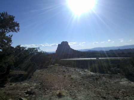
We crossed Utah on a mid-July afternoon with the temperature in the 90s when we had been hiking through forests at over 10,000 ft. elevation on Wheeler Peak in eastern Nevada just six hours before.
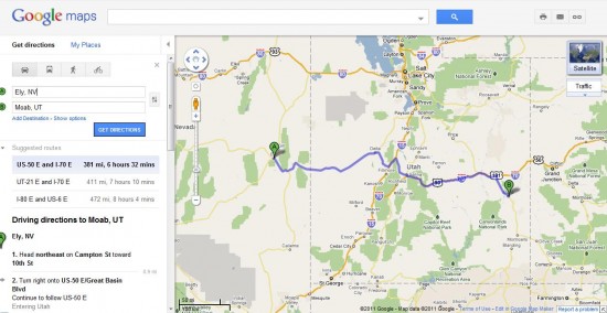
My destination was Moab, but with the remarkable ability of cell phones I saw the temperature at Moab was near 100 degrees and the rates were in the $150 to $200 per night range for most hotels. I changed my plans and booked a hotel room at the Holiday Inn Express Green River, Utah while stopped at a gas station in Salina, Utah where US Route 50 joins Interstate-70. Cell phone reception is really spotty when crossing the long stretches of no services areas between towns.
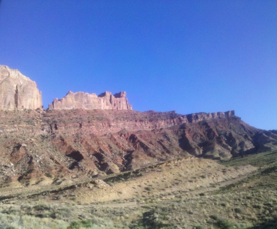
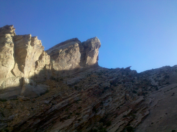
The San Rafael Swell and Ghost Rocks
The construction of Interstate-70 across the San Rafael Swell was considered an engineering marvel. There are no gas or food services along the 110 mile stretch between Salina and Green River, but there are two rest stops. The Ghost Rocks rest areas are located about 40 miles west of Green River on both sides of the freeway. These are the highest points of I-70 in the San Rafael Swell.
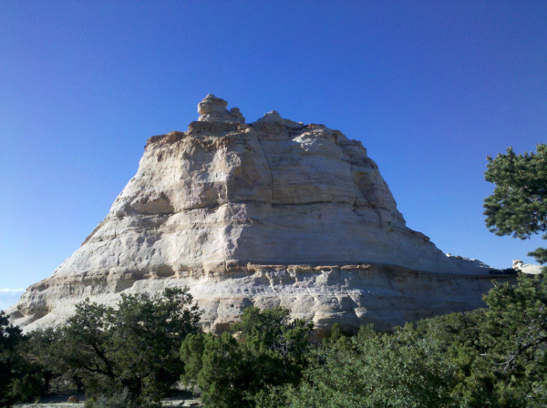
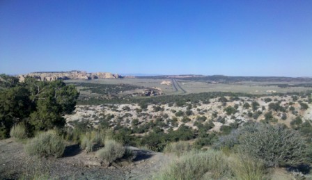
Rather than trying to explain the geological features of the San Rafael Swell, I’ll direct readers to Wikipedia. This is an area where water erosion has created slot canyons like the one where Aron Ralston was trapped between a rock and a hard place.
Green River, Utah was a smaller town than I expected. The place was loaded with tourists; some heading to the National Parks, and others heading east to Colorado or west to Nevada and California. Several chain hotels were located near the river about two miles off the Interstate.
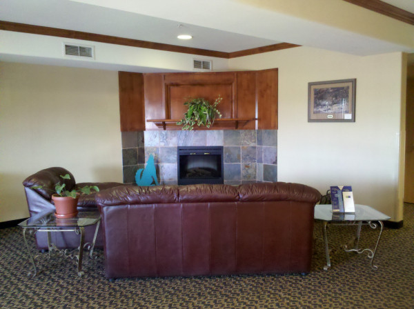
Holiday Inn Express Green River at 15,000 points was my pick for the night. There was also a Comfort Inn (Choice Privileges) and a Super 8 (Wyndham Rewards) and the River Terrace Inn, across the street from the Holiday Inn, that looked to be the most upscale and popular of the lodging choices. The lowest room rate for the Holiday Inn Express was about $120 after tax.
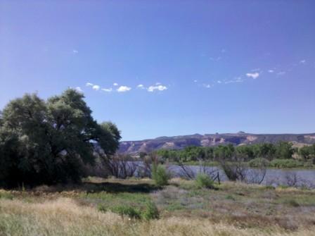
We bought a pizza at Cathy’s Pizza & Deli in town and it was quite good. I stopped to take a photo of the swollen Green River, but the bugs at dusk were so intense that I couldn’t bear to walk over the bridge for a photo opportunity.
July had seen many days of heavy rain across Utah. We delayed the start of our trip by one week to avoid rain storms over Nevada and Utah. The town of Green River was actually under Flood Watch Advisory as we drove the bridge across the swollen Green River. The bridge had a dozen or more pedestrian onlookers photographing the fast moving water under the bridge. Part of the lawn of the River Terrace Inn was flooded. The Holiday Inn Express was just about 100 yards from the river bank and I wasn’t so sure a ground floor room was in our best interest, but the receptionist kept going on and on about how I was getting an upgrade based on my Priority Club Platinum elite status. The room was a good size room with two Queen beds, a table and a cushioned chair with ottoman.
Nearly every day of the road trip I read in papers and heard news stories about people drowning in flash floods in Utah, Colorado and Wyoming. Some of these people even died while driving their cars when they unexpectedly ran into flood waters.
Utah has remarkable geologic beauty in the southern regions of the state. There are also vast stretches of road with few or no services  between towns. This is a rugged land that requires a plan. My plan is to get back to the canyons when the temperature is a little cooler and the weather not so precarious.
Brokeass Mountain Road Trip, July 2011
Monterey, California – Denver, Colorado
- Yosemite’s Tioga Pass Road across the Sierra Nevada Mountains
- Westin Monache Resort Mammoth for year round vacations
- Even Lonelier than the Loneliest Road in America
- Earth’s Oldest Trees in Great Basin National Park Nevada
- Less extreme than 127 Hours in Utah
- Brokeass Mountain Tour eastbound – Hotel Value at High Elevation
- Brokeass Mountain Tour visits Starwood in Denver
- Driving by the 14ers South Park to Aspen, Colorado
- Top of the Rockies on the High Road to Aspen – Independence Pass 12,095 feet.
- St. Regis Aspen – Too Late to Cancel
- Aspen, Colorado to Park City, Utah: Ghost lands of Buffalo Soldiers, Utes and Dinosaurs
- The California Trail across Nevada
- Homeward Bound – Carson Pass Highway 88 over the Sierra Nevada to Monterey


5 Comments
Comments are closed.