U.S. Route 6 used to be the longest transcontinental highway in the U.S. from Long Beach, California to Provincetown, Massachusetts. Route 6 now starts in Bishop, California on the eastern side of the Sierra Nevada Mountains.
Yesterday I drove from Mammoth Lakes to Ely, Nevada on Route 120 past Mono Lake. The 13,000 and 14,000 ft peaks are a beautiful sight on a clear day.
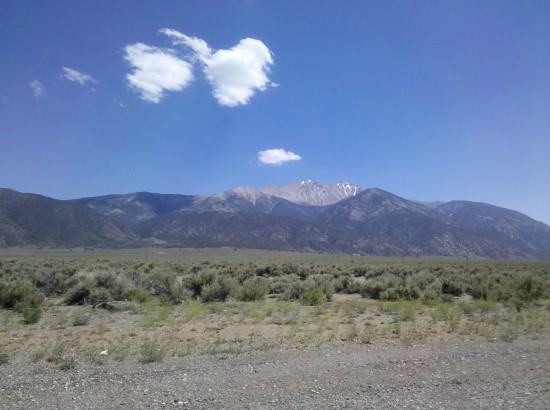
My camera broke yesterday morning at Mammoth Lakes so few pictures to show. Learning how to use my phone camera and after taking 60 or so photos and then emailing them to myself, I saw that only five photos successfully attached to the emails. I deleted all my phone photos so few visuals to share from the drive.
There are only three places to get gas along the 300 mile route that took us by Mono Lake on Highway 120 in California to Highway 6 past Tonapah to Ely, NV.
Several miles of pine forest are located near the southern side of Mono Lake before continuing into the desert. Highway 120 is literally a roller coaster ride for several miles where the road dips deeply causing our car to ride up to the crest of the road at such an angle that there is no road visibility, only sky, and then quickly drop down the other side so steeply that our stomachs felt like we were riding on a rollercoaster. This is some serious dipping that goes on for several miles and is rather unnerving with the lack of forward road visibility when cresting each road wave.
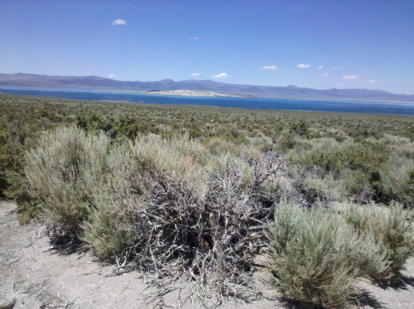
Tonapah is a mining town. Tonapah looks like a mining town. This was only a gas stop for us. Seeing a sign just east of Tonapah ‘167 miles to next gas’Â is rather alarming. There were only a couple of places between Tonapah and Ely where structures exist and there are no services at all.
Wild horses and shades of desert green entertained our eyes for the next 167 miles. Having spent the past decade only seeing the Las Vegas area of Nevada I was reminded during this drive that Nevada actually has remarkable natural beauty in its remoteness and wilderness. I was surprised to see such intense color with various shades of grays and greens as we passed through each desert valley between the north-south mountain range crossings. There is plenty of life in these valleys and hills.
The road of Highway 6 is well paved. We had hours of driving with rarely another car in sight. I said to Kelley at one point that we were probably farther away from another human than we ever have been in our lives.
The road was so deserted that we nicknamed this one bird species the “suicide birds” for their habit of sitting on the road pavement and flying up in front of the car as we approached. Hundreds of these birds flew up in front of our windshield as we drove through the desert around Warm Springs midway between Tonopah and Ely.
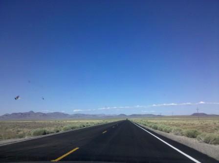
About 60 miles from Ely a roadrunner bird swooped down on the road and then ran in front of our car. Fortunately that roadrunner was fast. I read these birds are so fast that they actually are rattlesnake predators.
Humboldt National Forest 50 miles west of Ely was an unexpected pleasure of woods and mountain streams after 200 miles of no trees since leaving the Mono Lake area of California. This is an area of great beauty filled with the small desert Utah juniper trees deep in the Nevada wilderness. In the evening sun of the Nevada Great Basin desert, the forest looked to be a National Park quality region. My biggest disappointment of the day was losing my photos of the forest with the missing email attachments.
US Highway 50 is nicknamed “The Loneliest Road in America”. Highway 6 and Highway 50 join up in Ely to become the same lonely road to Great Basin National Park at the eastern edge of Nevada and then on to Delta, Utah another 150 miles to the east of Ely.
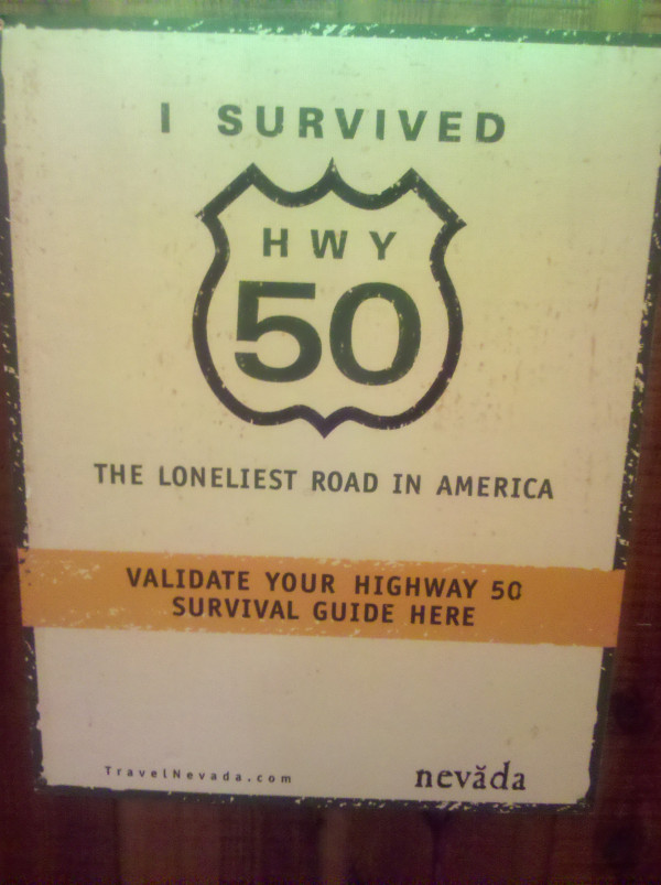
US Highway 6 is a more southerly road than Highway 50 and the road even less traveled than Highway 50.
Highway 6 is even lonelier than the loneliest road in America.
Brokeass Mountain Road Trip, July 2011
Monterey, California – Denver, Colorado
- Yosemite’s Tioga Pass Road across the Sierra Nevada Mountains
- Westin Monache Resort Mammoth for year round vacations
- Even Lonelier than the Loneliest Road in America
- Earth’s Oldest Trees in Great Basin National Park Nevada
- Less extreme than 127 Hours in Utah
- Brokeass Mountain Tour eastbound – Hotel Value at High Elevation
- Brokeass Mountain Tour visits Starwood in Denver
- Driving by the 14ers South Park to Aspen, Colorado
- Top of the Rockies on the High Road to Aspen – Independence Pass 12,095 feet.
- St. Regis Aspen – Too Late to Cancel
- Aspen, Colorado to Park City, Utah: Ghost lands of Buffalo Soldiers, Utes and Dinosaurs
- The California Trail across Nevada
- Homeward Bound – Carson Pass Highway 88 over the Sierra Nevada to Monterey


5 Comments
Comments are closed.