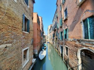
Getting to Venice is the easy part, except in our case. Getting around Venice is difficult. There are no cars once you walk into the main city of islands. Boats are the only motorized transport. Venezia has six districts or sestiere in the main body of bridge connected islands. These districts are divided by the Grand Canal with Cannaregio, San Marco and Castello on one side and Santa Croce, San Polo and Dorsoduro on the other. Santa Croce is where the bus and tram stops are to the mainland and the train station is across the Grand Canal in Cannaregio. There are only four bridges across the Grand Canal, so unless you buy boat tickets you need to know how to reach one of the bridges. (Public transport ACTV ferry tickets are €7.50 per one way trip around the districts and other islands; much cheaper with daily pass options).
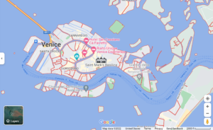
Imagine Venice without Mobile Directions
Here is a close up view of one section of San Polo showing all the islands and the few bridges connecting them. There are seven islands here separated by canals and only six bridges connecting them in this part of San Polo.Â
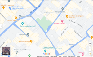
Whenever I tried to navigate without use of Google Maps, I generally ended up at dead-end streets or an alley that took me to a dead-end canal opening. Even after three days of walks and a couple of hours after returning from the Jewish Ghetto in Cannaregio, I tried to backtrack to the ghetto with Kelley from our hotel without use of Google Maps. 15 minutes later we found ourselves back at the hotel with no idea we were walking in a circle.
Venice by Boat or Bus
Arriving from Venice Airport by bus cost €8.00 one way per ticket to the Venezia bus transit area a short distance from the end of the causeway. From there navigating Venice is all by foot or by boat if you stay in a hotel with those facilities. There are no cars once you walk into the main city of islands, Venezia is divided by the Grand Canal with four pedestrian bridges and hundreds of brick covered islands separated by canals and these blocks are strung together by hundreds of canal bridges.
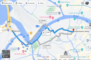
Hotel Aquarius Venice in Santa Croce is only a 16 or 17 minute walk from the bus depot according to Google Maps. I’d probably take a boat if I were staying in Castello or San Marco districts. You need to cross a lot of bridges with stairs to reach those locations.Â
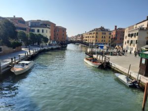
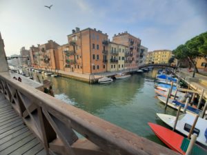
Google Maps – Depot Bus to Hotel Aquarius Venice
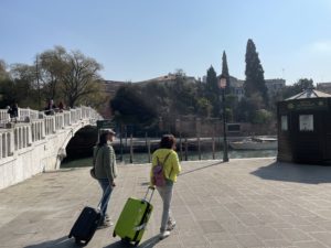
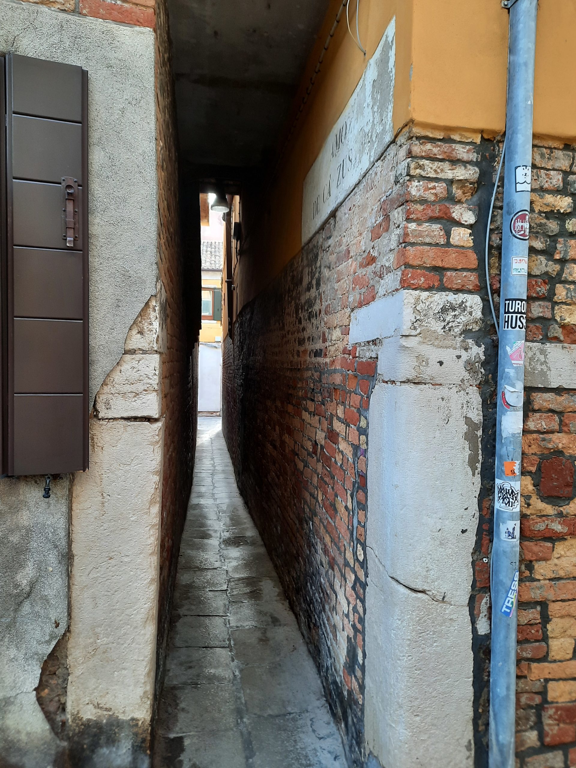
Low tunnel, narrow passageway
On our first walk to the hotel I kept saying to myself ‘this can’t be the right way’.
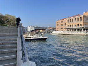
We walked along the Grand Canal for a way, where I snapped my best photo of Constitution Bridge, the most northerly bridge crossing over the Grand Canal from the Depot Bus in Santa Croce (left side) to the train station in Cannaregio (right side).
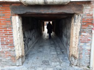
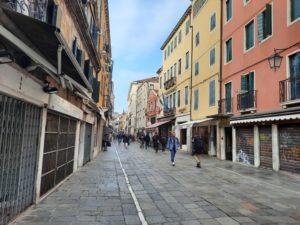
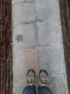
When we turned off the Grand Canal the streets kept turning into smaller and smaller alleys. The pavement was smooth wherever we walked in Venice, so easy to roll luggage. The canal bridge stairs are the tough part.
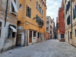
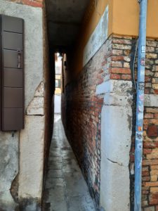
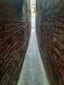
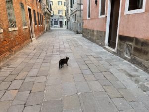
Kelley liked this route to our hotel for the street cat that was generally hanging around a restaurant.
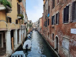
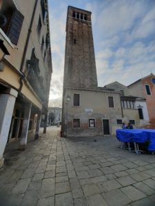
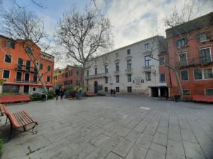
We finally made it to Hotel Aquarius, our Venice hotel for five nights, after 44 hours since leaving our home in Monterey.
Venice Stairways and Canals (April 2022)
Stairways across Venice for Star Alliance Gold status renewal
Would pre-trip illness cancel our trip to Venice?
Venice Delayed after Catering Truck Hits United 772 at SFO Gate
Hotel NH München Airport free night from Lufthansa
Imagine Venice without mobile directions


7 Comments
Comments are closed.