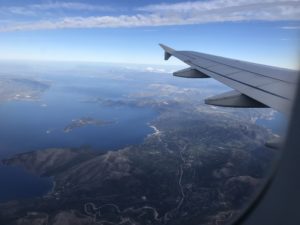
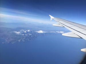
Yesterday I flew Aegean Airlines from Chania, Crete to Athens and Athens to Warsaw with window seats on both flights. Something I was surprised to learn a couple years ago is the file information on photos taken with my iPhone provides locational information even when the phone airplane mode is turned on.
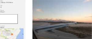
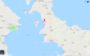
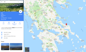
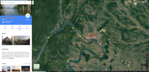
Open map link provided in the file image data allows the user to pinpoint location where aircraft was when photograph taken. Then change the map to zoom out in the direction of the photo image to locate the geographic landmarks.
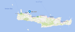
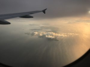
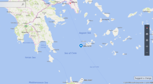
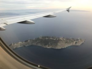
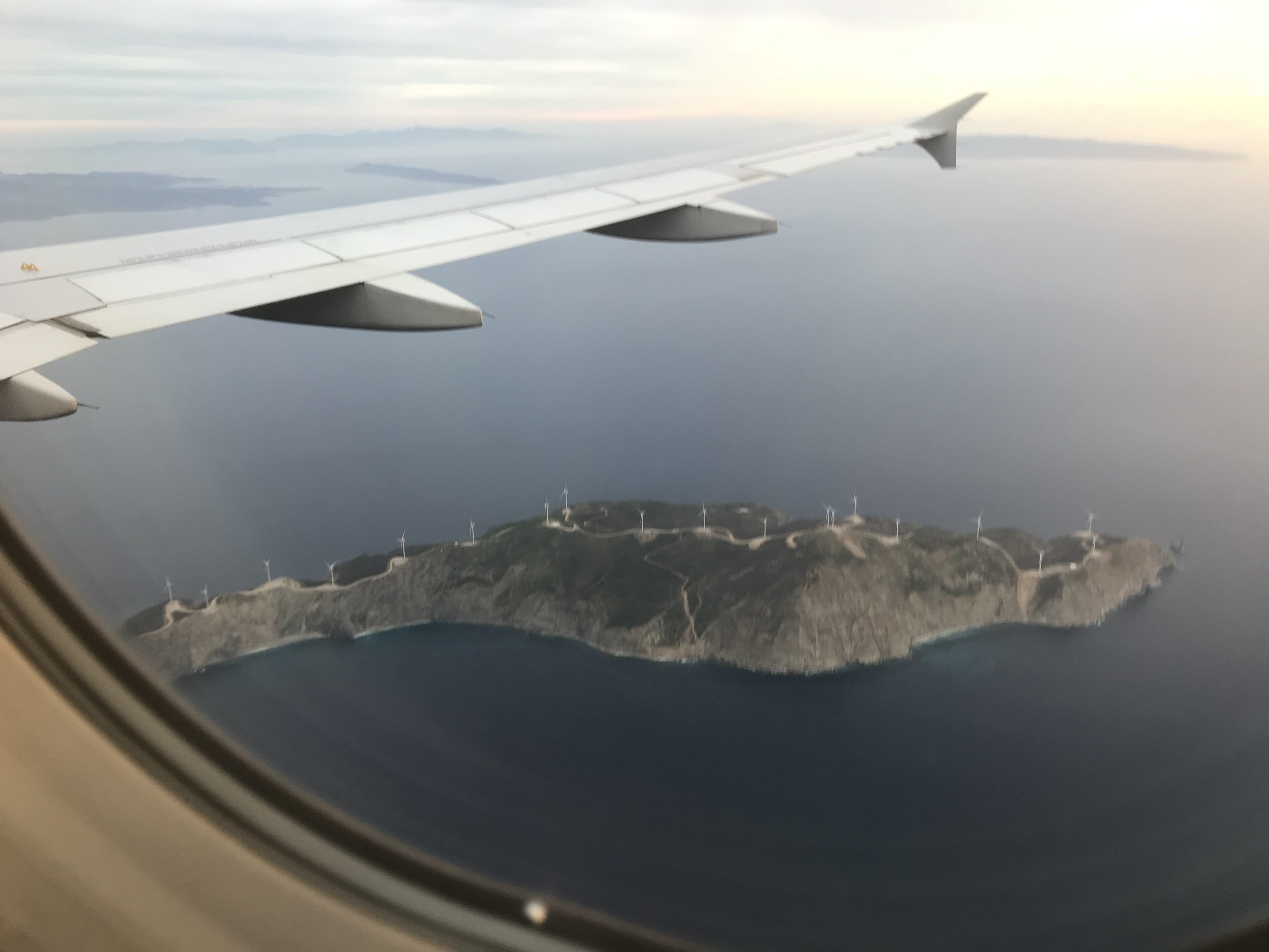
Twenty-three giant wind turbines on the uninhabited island of Agios Georgios located at the beginning of the Saronic Gulf.
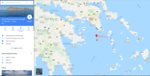
Not all of my photos have location coordinates. I really don’t know how it works technically, but Google Maps is generally sufficient to identify the general location if there are distinctive landforms.
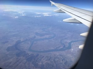
My seafood breakfast arrived and I was distracted eating for some time. Clouds obscured much of the border area between northern Greece and Bulgaria. I recall from the flight in the other direction our flight path was between Sofia and Plovdiv, Bulgaria. When I returned to window viewing I saw we were over Romania and the Danube River near the border with both Bulgaria and Serbia.
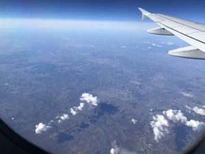
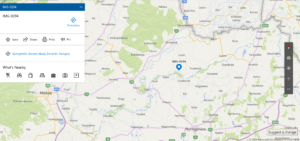
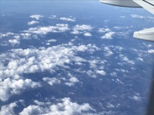
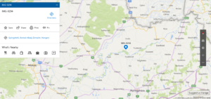
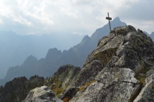
The skies became much cloudier as we approached the border of Poland. The last outstanding feature were the High Tatras, the highest mountains of the Carpathian Range, which form part of the border of Slovakia and Poland.
I spent two weeks in Slovakia in September 2016 starting in Kosice, then spent four days hiking in the Tatra Mountains.
A poster on the local Tatra train for ‘Happy’ from High Tatras’ is how I first became aware of the 2014 global initiative to promote local towns through dance to the 4:00 minute Pharrell Williams song. I generally check any place in Europe I am interested in visiting for the first time to see if there are any local ‘Happy’ videos on YouTube. The videos provide a good introduction to what a place looks like.
Happy from High Tatras is one of the most popular in the series with over 7 million views.

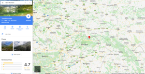
One of the rare selfies of me is my Twitter image from a photo I took on my trip in the High Tatras.


