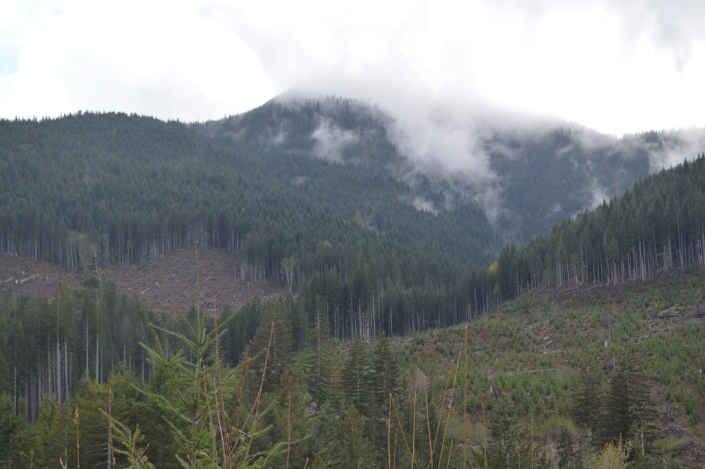
Vancouver Island still has old growth forest in danger of being logged. I only scratched the surface of the logging industry while touring Vancouver Island driving about 500 miles through forest lands. Nearly all the forest I saw were second and third growth stands. Much of the old growth Douglas fir and other large trees were logged more than a century ago. Vancouver Island has about 25% old growth forest remaining, but not all old growth forest is protected from logging.
Ancient Forest Alliance is a British Columbia environmental organization working to educate the public and protect remaining old growth forest on Vancouver Island from logging.
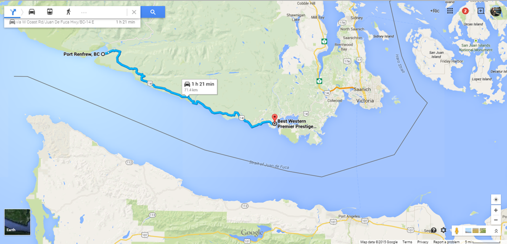
Tofino to Sooke by logging road, or in marketing speak, the Pacific Marine Circle Route.
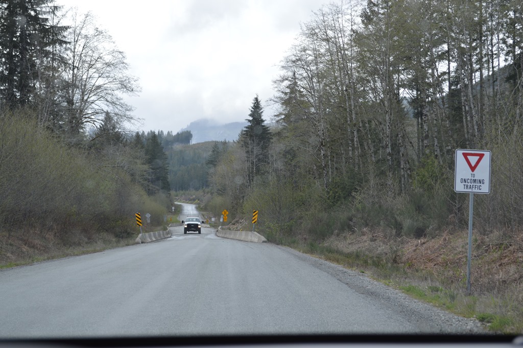
Driving from Tofino to Sooke took me on a road across Vancouver Island east to west that looked like a regular road from Duncan to Port Renfrew on the tourist map in the Vancouver Island Vacation Guide 2015. The HelloBC.com provincial tourist site names this road the Pacific Marine Circle Route. Bear in mind, you are traveling 80 miles in the wilderness with no services on the northern section of this route driving between Lake Cowichan and Sooke.
Once I passed Lake Cowichan and continued west, I wondered if I had somehow missed the road I needed to reach the coast? I pressed on and realized that this road, designated part of the Pacific Marine Circle Route for tourists driving from Victoria, was actually a paved logging road as its primary purpose with no services for about 80 miles from Lake Cowichan to Sooke.
Can’t see the forest for the missing trees with Vancouver Island logging
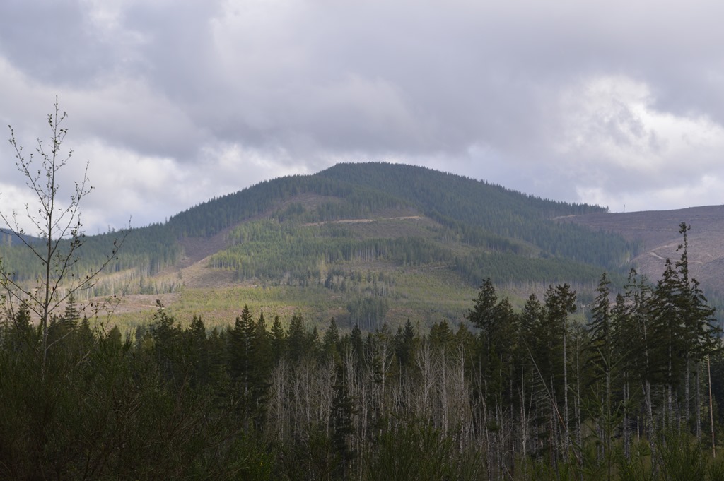
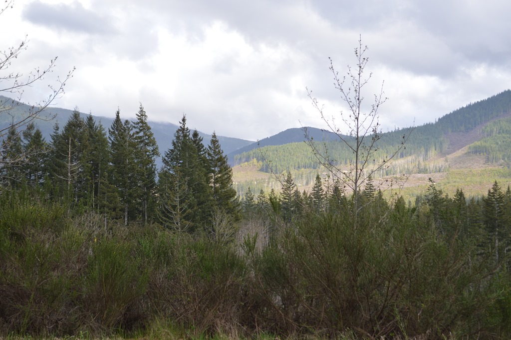
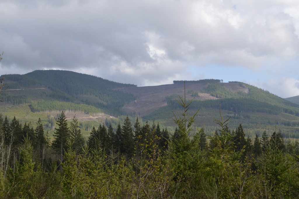
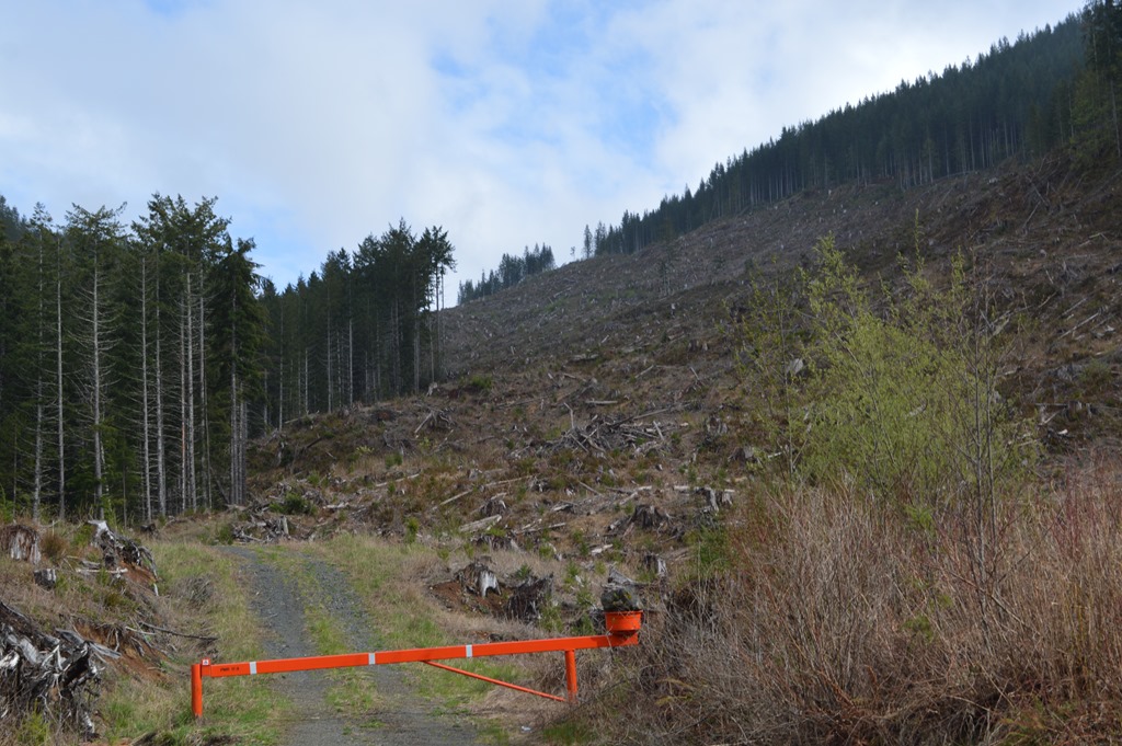
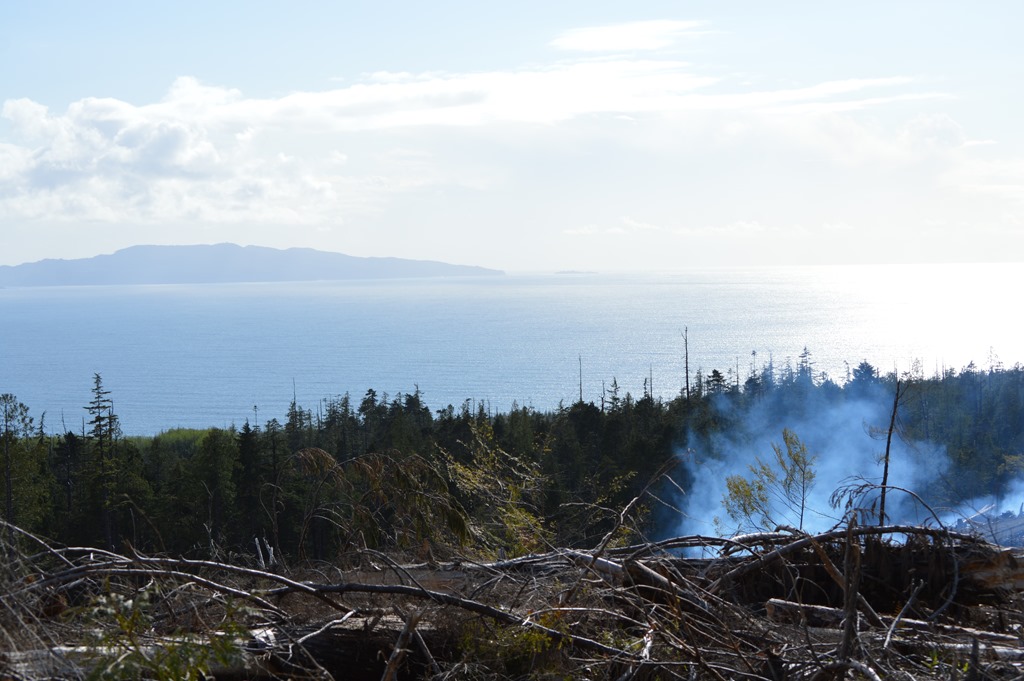
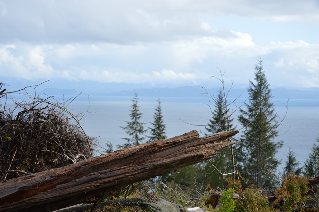
The striking feature of this route are large areas of clear cut forest lands with Vancouver Island logging in managed timber harvesting. The photos in this piece share the visual image of industrial logging in managed timber lands.
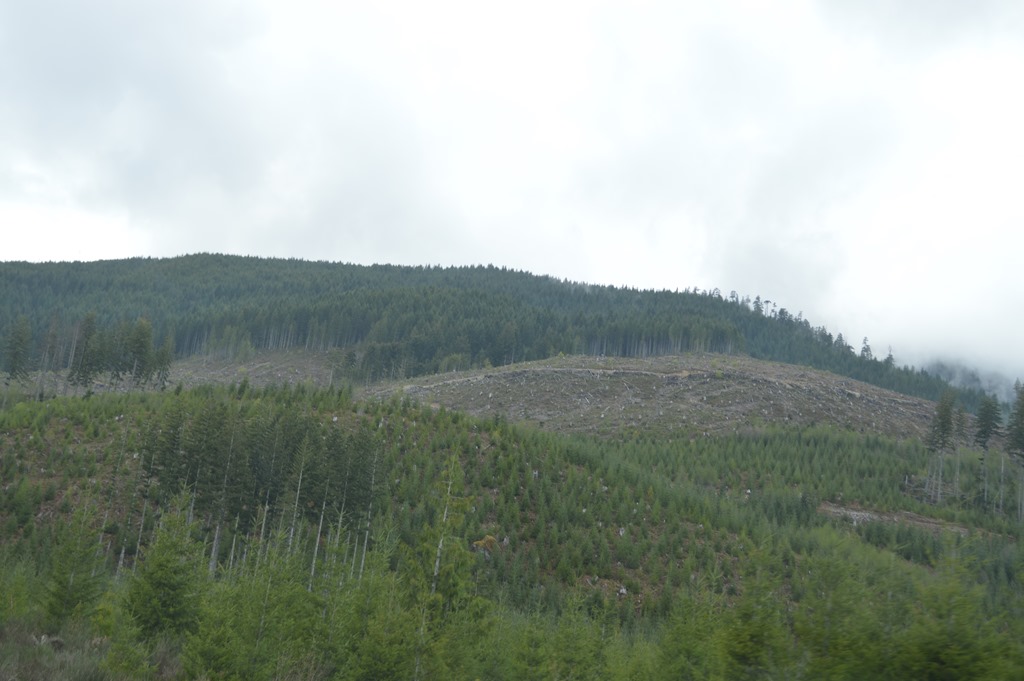
This type of landscape would not be daunting, except for the fact that nobody lives within 30 miles of this area. There are no structures anywhere along the road, except for a paved road and bridges, with dirt roads and the occasional gate. There is the Forest Discovery Center in Duncan on the east side of BC Highway 1. That might be a good stop to get forest insight before or after seeing the interior of Vancouver Island on this road.
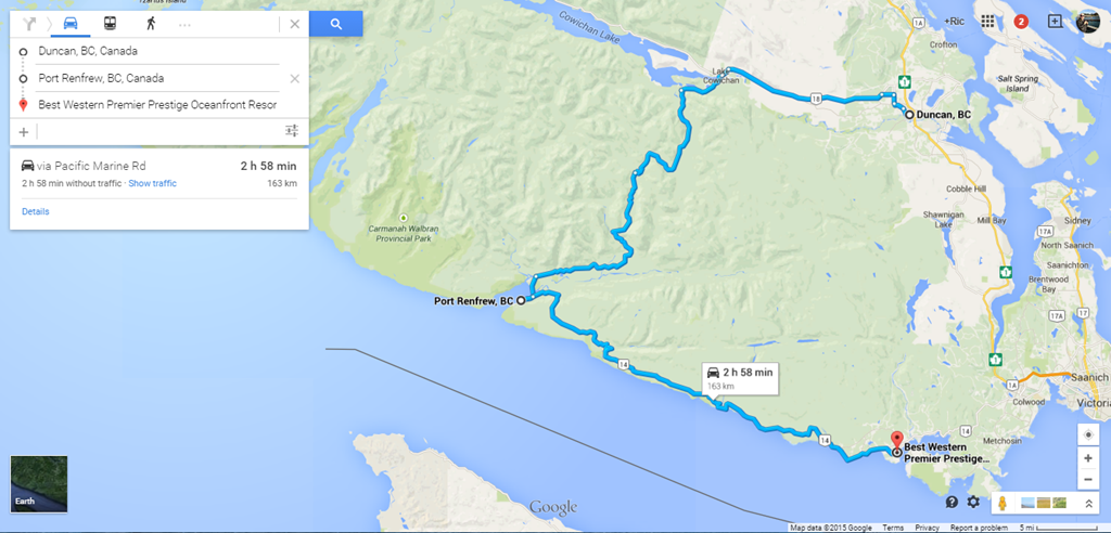
Duncan, British Columbia to Sooke on Vancouver Island is a 3-hour drive, 163 km or 101 miles with no gas from Lake Cowichan to Sooke and no residents from Lake Cowichan to Port Renfrew. Duncan to Lake Cowichan is 30 km and the best road of the journey. Lake Cowichan to Port Renfrew is 62 km of logging road in the wilderness. There are not too many cars driving across the interior island here I imagine, outside of peak summer season. I saw no more than ten vehicles during the drive on a weekday afternoon in late April.

TimberWest is the largest private timberland company in western Canada. They manage 804,000 acres on Vancouver Island.
Looks like much of the land I drove through is owned by TimberWest for sustainable logging.
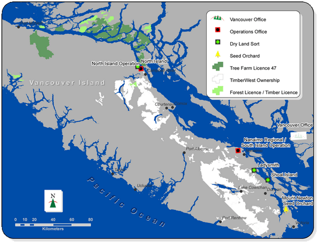
The area surrounding the large lake in the southern portion of Vancouver Island is Lake Cowichan. Looks like I drove through a bit of TimberWest logging forests in the white bits.
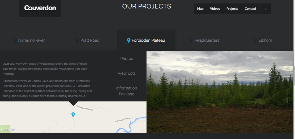
Looks like TmberWest also sell land lots to homebuyers through Couverdon.com.
Port Renfrew on Vancouver Island’s west coast
The road to Port Renfrew was different in a couple of ways. There were no painted lines dividing the road. And there were something like a dozen one lane bridges, mostly telling my direction to yield to oncoming traffic. Fortunately, I only came across a couple of logging trucks on the open parts of the road and a couple of pickup trucks I yielded too through the one lane intersections.
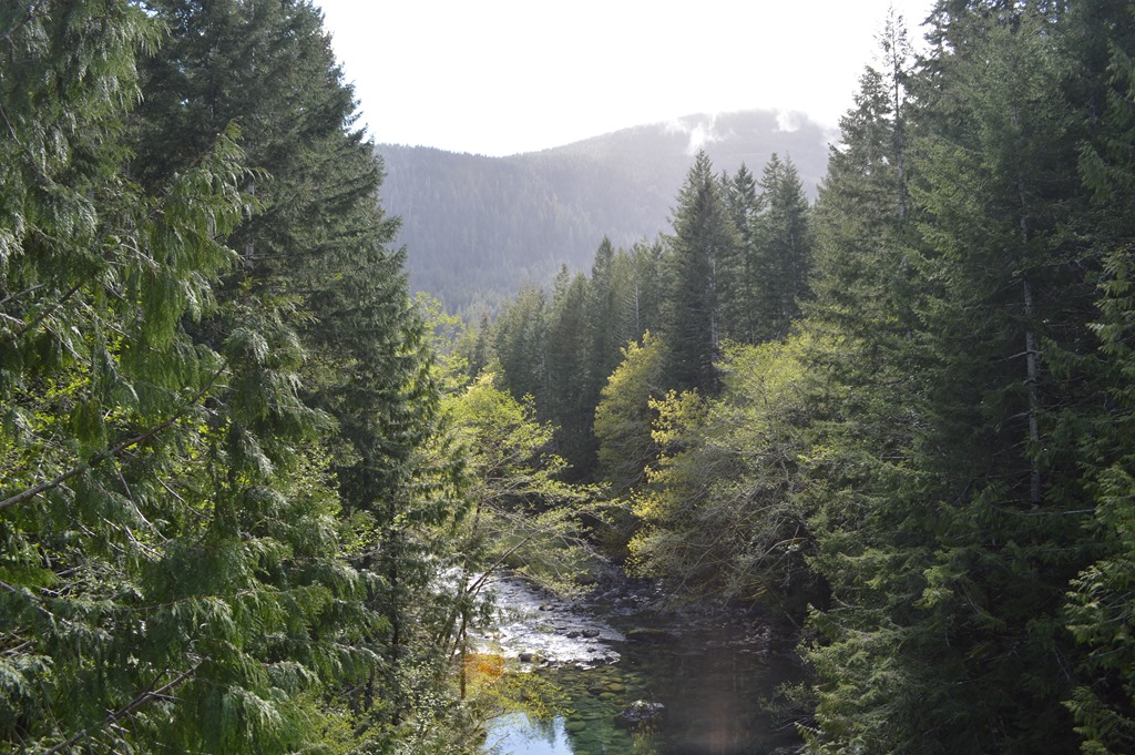
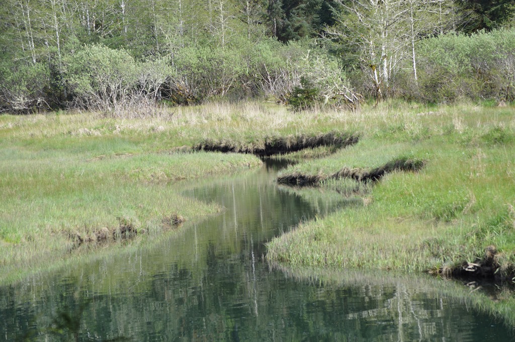
The western portion of the route is more scenic with beautiful lake landscapes. I spotted a river otter on the marsh banks near the lake.
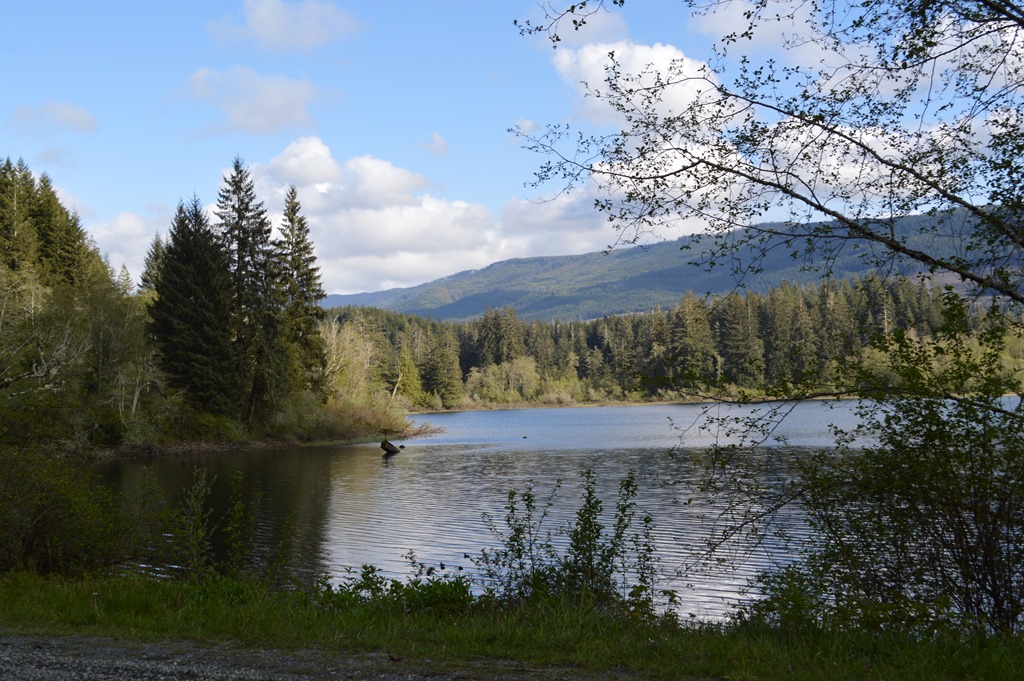
Port Renfrew was a beautiful setting in the early evening sky, but that is mental imagery of driving across a bridge and looking inland and looking into the sun splashed harbour.
I was ready to get to Sooke and the Best Western hotel.
Still another 71km!.
Are you kidding me?
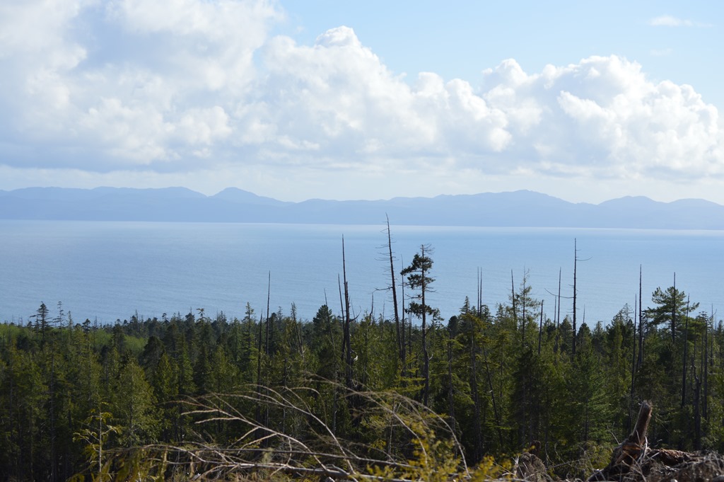
Washington State is visible across the Strait of Juan de Fuca.
Canada is closer than you think when you are on Vancouver Island looking out to Washington State’s Olympic Peninsula.
And a bit smokier too. Like Vancouver 420 was worse air pollution than Vancouver Island wilderness.
The Olympic Peninsula with Cape Flattery Lighthouse is across the Strait of Juan de Fuca.
There are few people between Port Renfrew and Jordan River. Port Renfrew averages 140 inches of rain annually, while Victoria has about 25% of that amount. Few people live in these parts. Jordan River has a tiny settlement.

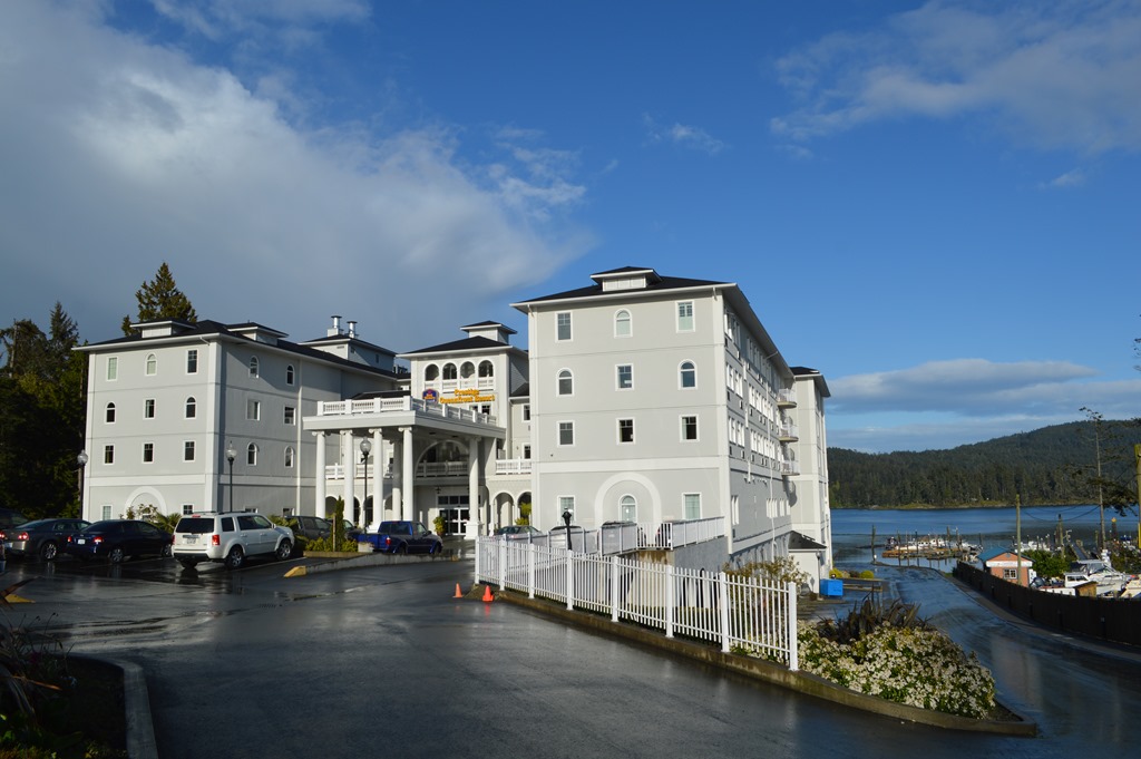
Best Western Premier Prestige Oceanfront Resort sounds pretentious, but that is good for a Best Western that can stand with the best of hotels. My experience is every Premier property I have stayed in Best Western was a good hotel stay. I had reached civilization again with hotels, grocery stores and gas stations upon arriving in Sooke.
And in surprising style for a Best Western.

They paved paradise and put up a parking lot
I am not anti-logging. Trees provide wood and wood is the basis for most housing construction and many other necessary products for our sustenance.
What I am against is old-growth forest logging. I think any living tree older than the arrival of the first timber companies should be preserved. There truly are not that many old trees remaining on earth compared to 150 years ago.
If you come to California check out some of these places where you can see magnificent ancient trees.
I lived in the northwest coast of California for a couple of decades and much of that time was during the heated battle to save the Headwaters Forest Reserve, remaining tracts of old growth coast redwood forests within harvestable timber lands. Those were contentious years between people relying on forest products employment and those seeking conservation of old growth forest land for future generations.
In California, 96% of the original old growth coast redwood forests have been logged since 1850. Redwood National Park and Redwood State Parks protect 45% of the old growth coast redwood forest protected in California. The oldest coastal redwood trees are about 2,000 years old with the average age in the range of 500 to 700 years old. Humboldt Redwoods State Park in Humbold County holds the largest contiguous old growth coast redwood forest remaining in the world. The park was established in 1921. Redwood National Park was already 90% logged beffore the park was created in 1968.
The modern state and national park system was originally created in large part to protect old growth trees. Calaveras Big Trees State Park in California has been a tourist attraction since 1853 after giant Sequoia trees were felled and sent around the USA and even to London to show off the tree’s size as the largest species in the world.
The Guardian – How a giant tree’s death sparked the conservation movement 160 years ago June 27, 2013.
The Sequoia trees of Calaveras were not protected as a California State Park until 1931.
Sequoia National Park

Sequoia National Park, established September 25, 1890 was the second national park created in the United States after Yellowstone.
Sequoia National Park is the nation’s second national park, established on September 25, 1890. Its organic legislation states “…whereas, the rapid destruction of timber and ornamental trees in various parts of the United States, some of which trees are the wonders of the world on account of their size and the limited number growing, makes it a matter of importance that at least some of said forests should be preserved.”
Closer to my home in Monterey, California is Big Basin Redwoods State Park, established in 1902 when it became apparent that all the old growth coast redwoods would be felled in the Santa Cruz Mountains if there was not legislative protection. Big Basin Redwoods was the first state park to be created in California. The park holds the largest contiguous tract of coast redwoods south of San Francisco.
British Columbia has lots of park land. The timber industry is big on Vancouver Island, British Columbia. I think the tourism industry can be even larger. Vancouver is easily accessible to the world and Vancouver Island is accessible by ferry to Americans from Washington State.
Keep old growth trees standing on Vancouver Island. The money from future tourism will pay off in the long run if there are old growth temperate rain forest accessible for future generations of visitors to visit.

1 Comment
Comments are closed.