Victoria has a problem with vehicle gridlock. Vancouver Island is a little larger than Los Angeles County, Orange County and San Diego County combined, yet half of the more than 760,000 people on the island live in the metropolitan Victoria area around the capital city of British Columbia in the southeastern corner of the island.

I walked to the Enterprise Rental Car at Government Street and Bay from the Quality Inn Downtown Inner Harbour Victoria in about 15 minutes. I drove back to the hotel for my bags with anticipation of driving out of Victoria quickly to find myself surrounded by great forested mountains and scenic ocean views outside Victoria.
Victoria slow roads
Hello BC tourism website has driving routes and itineraries for Vancouver Island and British Columbia.
The challenge at the beginning of my road trip to Tofino was getting out of metropolitan Victoria. I had ridden the bus from Swartz Bay to Victoria Downtown Inner Harbour the day before, so I knew it was a long slog through miles of business district surface roads to hit faster roads. Driving 50 kilometers really feel slows as a California driver.
I can’t imagine driving around Victoria in July when I crawled out of town with all the stoplights on a clear weekday morning at 11am in late April.
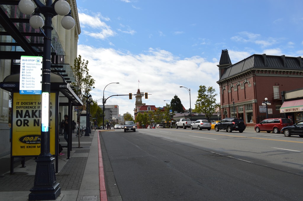
Traffic in downtown Victoria is better than Uptown Victoria where you have to drive through a strip mall type business district to get out of town. Outside Victoria about 30 minutes, Canada Highway 1 road had a scenic pullout at Malahat Summit (352 m/1,155 ft).

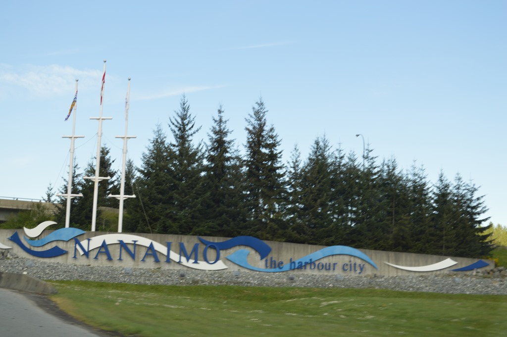
There is a ferry from North Vancouver to Nanaimo. Renting a car in Nanaimo was more expensive than Victoria for my trip, yet Nanaimo could be the more convenient location if your travel plans are primarily for Tofino or North Island locations. Starting in Nanaimo cuts 90 minutes off drive time from Victoria.
Not until I turned west at Parksville, north of Nanaimo and almost two hours out of Victoria, did I feel like I was getting away from people and into the wilderness of Vancouver Island.
Coombs is the Coombs Country Market town with goats on the roof. Two women in Victoria suggested I stop at the World Parrot Refuge in Coombs for a unique experience with parrots. The facility houses over 800 previously pet parrots who were rescued. I saw the refuge sign, but my heart was already in the hills ahead and I stepped on the gas to press on west.
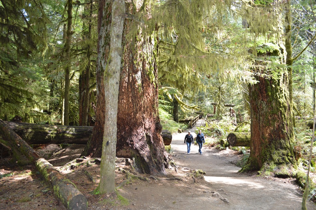
Cathedral Grove is an easily accessible old growth forest tract off BC 4 highway about ten miles east of Port Alberni. MacMillan Provincial Park is a place to check out some of the big trees beside the road and get an idea of what Vancouver Island looked like before 150 years of logging felled most of the old trees. The island still has about 25% old growth forests with trees over 250 years old, but many of these remaining regions of old growth forest are challenging to reach.
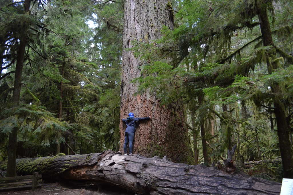
Simply called The Big Tree, the Douglas fir being embraced is 800 years old and at 76 m high (250 ft) is 20 meters taller than the Leaning Tower of Pisa. The information sign makes that comparison.
High rainfall on Vancouver Island ranges from about 35 to 45 inches on the southeast coast where most people live to 75 inches in Port Alberni and a staggering 130 to 140 inches of rain annually on the western coast in Tofino and Port Renfrew. Abundant rainfall creates a temperate rainforest climate with diversity in the island ecosystem.
Port Alberni lumber mill town
Port Alberni is a lumber mill town. The plume of smoke from the mill stacks brought back memories of my years living in the mill town of Eureka, in the redwood forested coast of northwest California. The population of 18,000 in Port Alberni means this is the major port of call for the regional population totaling around 30,000 residents for the central and western portion of Vancouver Island. Wilderness surrounds Port Alberni.
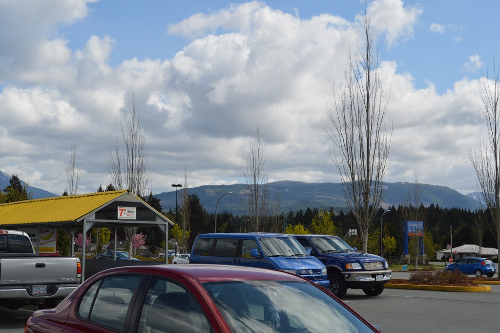
WalMart is in Port Alberni and all the major services and goods you might want to shop for before continuing west. There are no more services on BC Highway 4 until you reach Ucluelet or Tofino on the coast, nearly two hours drive west. Those towns are under 2,000 residents, so no big box stores are located west of Port Alberni.
In the center of this photo is a juvenile bald eagle in flight I saw in Port Alberni. I had been watching the eagle on a tree top when a mature bald eagle with a crown of white feathers flew directly at the juvenile and sent it off in flight. The mountains surrounding Port Alberni are missing lots of trees. This is one of the prettier views.

West of Port Alberni there was a noticeable decrease in the number of vehicles on the road. There are no services for over 60 miles until you reach Ucluelet or 80 miles to Tofino. This stretch of road takes about two hours to drive. There was road construction on the highway stopping traffic in a couple of places.
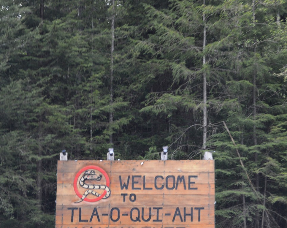
First Nations Tla-o-qui-aht sign on BC Highway 4.
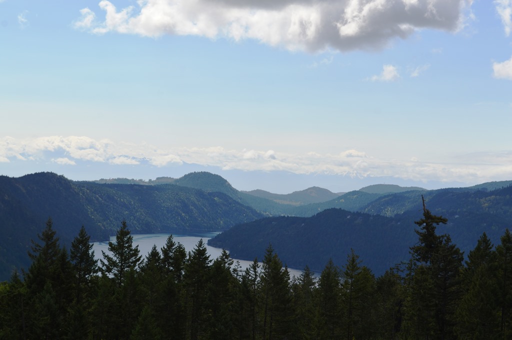
The mountains looked more rugged as the coast neared. Vancouver Island is bisected by the Beaufort Mountain Range.
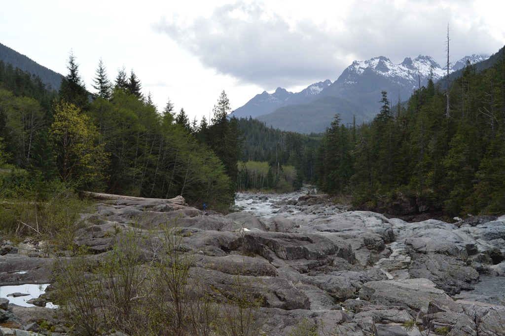
The road winds along Kennedy Lake just before reaching the Pacific Coast near Ucluelet. Kennedy Lake is the largest lake on Vancouver Island and named for the third and last Governor of the colony of Vancouver Island, not the American president. Vancouver Island was a separate governmental entity until it united with British Columbia in October 1866 during the period Sir Arthur Edward Kennedy served as governor of the colony.
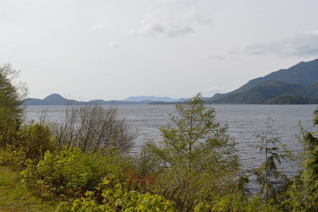
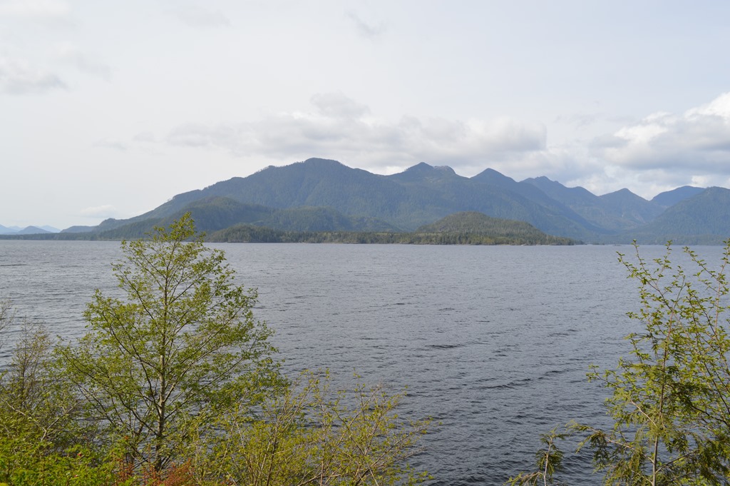

Highway 4 reaches the coast and turns right to Tofino for another 33 km of road cutting through the Pacific Rim National Park. Ucluelet is to the left 8 km.
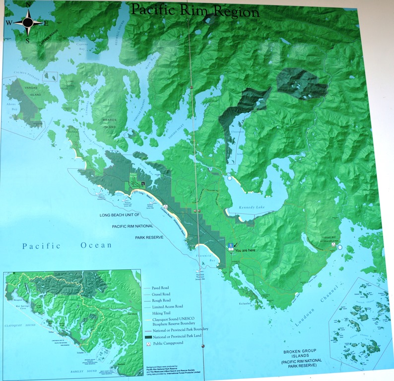
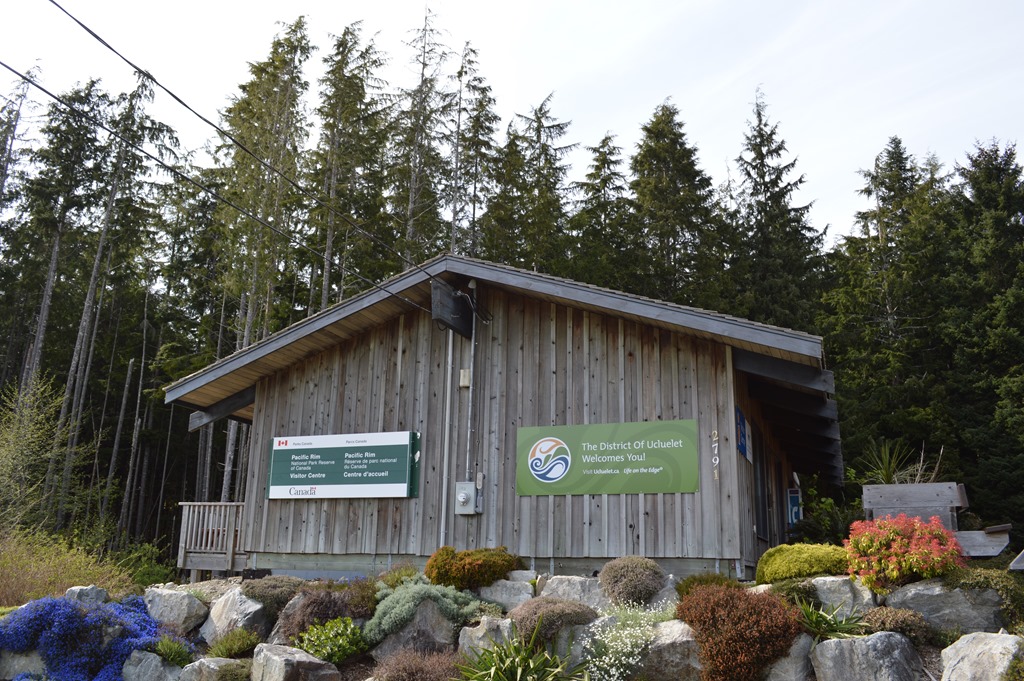
Pacific Rim National Park Visitor Center is at the fork in the road.
On the way to Tofino I stopped at Wickaninnish Beach in Pacific Rim National Park where a young gray whale had washed up dead. The good condition of the whale body resulted in a dissection on the beach the following morning by local volunteers and government resource agencies to remove the whale skeleton for the Royal BC Museum in Victoria and bury the remains. Initial indicators suggested the whale might have been struck by a boat. CBC News April 23 – Grey whale dissected on Wickaninnish Beach near Tofino.

Tofino is a major whale watching region for the 20,000 grey whales who migrate past these waters each year to and from Baja Mexico and their summer feeding grounds along the Bering Strait. Gray whale migration map.
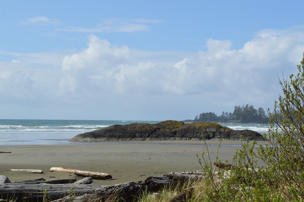
Long Beach at Pacific Rim National Park, British Columbia.

Tofino is the end of the road on the west coast of Vancouver Island. From Tofino, a boat or seaplane is needed to continue outward along the central coast of Vancouver Island and other smaller islands in the region.

Related posts:
Loyalty Traveler – Tofino is the end of the road for adventure in British Columbia wilderness
Loyalty Traveler – On the Beach at Best Western Tin Wis Resort Tofino, British Columbia
Loyalty Traveler – Quality location at Quality Inn Downtown Inner Harbour Victoria, British Columbia
Loyalty Traveler – Vancouver to Victoria transportation for $23.20 CAD ($19 USD) by Skytrain, bus and ferry.
Loyalty Traveler – Into the Spirits of Earth Day 2015 Vancouver Island, British Columbia

1 Comment
Comments are closed.