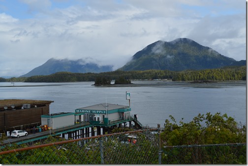
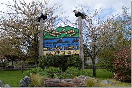
Tofino is the end of the road on the west coast of Vancouver Island. This town on the western edge of Canada and the eastern edge of the Pacific Ocean is the launching point for wilderness adventure on truly remote islands in the Clayoquot Sound reached by seaplane or boat. Tofino is also known as a winter surf location. I saw surfboards on about 1 in 5 vehicles in town and there are three surf shops in a village of fewer than 2,000 residents, surrounded by forests, islands, beaches, mountains and wildlife.
Tofino and its neighbor town Ucluelet 41 km south and First Nations villages in the Clayoquot Sound region, altogether comprise about 5,000 residents. This area receives about 600,000 tourists annually, mostly in the months from late May to mid-September.
Wildlife is a major attraction in Tofino and surroundings. Thousands of gray whales pass by the beaches here on their annual migration to Mexico in winter and on their return to Arctic waters in the spring. Tofino and Ucluelet hold the Pacific Rim Whale Festival each March. Wolves, black bears and grizzly bears still inhabit the landscape in these parts, along with mountain lions.
Getting to Tofino, British Columbia is half the adventure
There are not many paved roads for long distance driving on Vancouver Island.
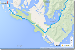
Highway 4 only reached Tofino in 1961. BC 4 ends in Tofino and at 163 km or about 101 miles, Highway 4 is the longest east-west road on Vancouver Island.
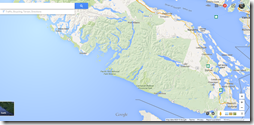
Vancouver Island is the largest island in the Pacific Ocean east of New Zealand. Vancouver Island at 12,400 square miles is the size of Maryland; and larger than all the Hawaiian islands put together.
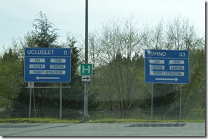
There are some bumps and holes in the highway as you curve your way along the two lane road the final 50 miles through mountain valleys and around lakes and over streams and rivers between Port Alberni to where the road meets the coast at Pacific Rim National Park. Canada Highway 4 is the only paved road north of Port Renfrew to the western coast of Vancouver Island. When you reach the coast and the Pacific Rim National Park Visitor Center, turn left to Ucluelet or follow BC4 right to reach Tofino and the western terminus of BC Highway 4.
Ucluelet or Tofino and what is the difference between towns?
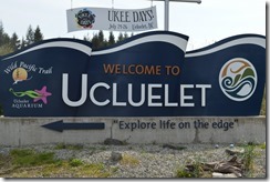
Ucluelet and Tofino looked similar to me as a tourist. Locals probably have dozens of distinctions between the two small towns separated by 41 kilometers of Pacific Rim National Park sea coves and beaches.
Tofino and Ucluelet are both small towns with a few restaurants to feed the locals and tourists who pass through the area. Well, mostly the tourists. There are lots of signs for lodging and tourist activities. A handful of businesses cater to locals and tourists like mechanics, markets, and supply shops, along with a few boutique shops. Tofino and Ucluelet are 41 kilometers apart and it is 130 km, nearly 80 miles from Tofino to Port Alberni, the next town to the east. You can find most necessities in Tofino and Ucluelet.
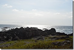
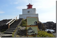
Wild Pacific Trail at Amphitrite Point Lighthouse, Ucluelet
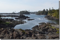
Pacific Rim National Park protects about 20 miles of beach and forest along the peninsula to Tofino.
BC Highway 4 goes through the national park with beach access in several locations.
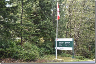
Pacific Rim National Park Reserve, Tofino, British Columbia
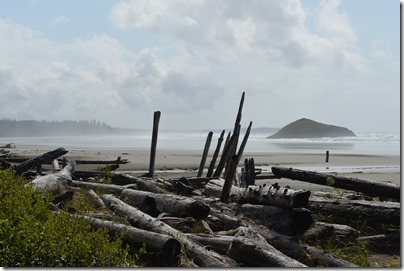
Long Beach, Pacific Rim National Park Reserve
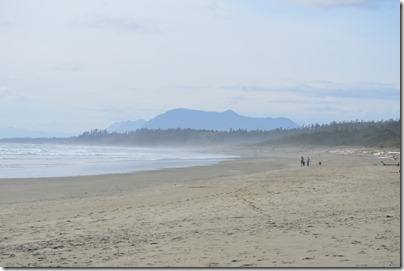
Wickaninnish Beach, Pacific Rim National Park Reserve
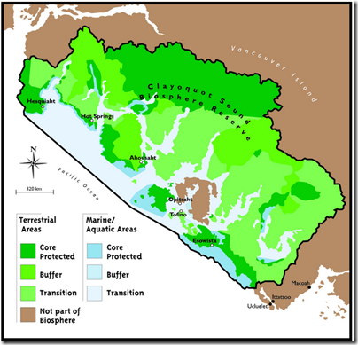
Clayoquot Sound Biosphere Reserve
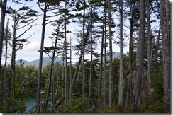
Tofino has only 2,000 or so residents, yet 600,000 visitors annually make their way to the end of the road. UNESCO dedicated the region as the Clayoquot Sound Biosphere Reserve in 2000 due to its prevalence of old growth temperate coastal rainforest untouched by logging.
http://clayoquotbiosphere.org/what-we-do/on-the-map/
Tofino at the end of the road
Five hours drive to cover 300 kilometers from Victoria on southeastern Vancouver Island to Pacific Rim National Park is part of the experience. Fifty years ago Tofino and Ucluelet were logging company outposts and First Nations areas.
Tofino has an airport, if you have more money than time at your disposal to fly private plane service.
Tofino is the end of the road. Onward passage requires a boat, plane or hike. In late April there were backpackers, surfers and adventure seekers in town.
Tofino is the place for taking adventure boat excursions to see bears, whales and wildlife of British Columbia. There are regular festivals in town to attract tourists like the Pacific Rim Whale festival in March, Tofino Film Festival in April and the Tofino Shorebird Festival in May.
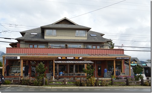
Winter surfing is a big draw here and there are several surf businesses for lessons and equipment.
Pacific Surf Co. is the top ranked surf school in Canada and one of the top 10 in the world in a National Geographic survey.
Tourist season hits heavy from mid-May through summer with lodging selling out regularly. Port Alberni is a two hour drive east and the only other place with lodging if Ucluelet, 40 km south of Tofino is also booked up.
Lodging in Tofino ranges from campsites in Pacific Rim National Park to hostels, local inns and B&Bs and luxury lodges.
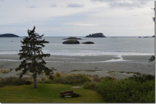
I stayed at Best Western Tin-Wis Resort Lodge, a locally owned and run First Nations hotel. This view at this hotel is one of the best at MacKenzie Beach, a couple miles south of Tofino.
My one bedroom suite was better than your typical Best Western hotel too. More on the hotel in a separate post to come.
Surfermag.com has a good video showing aerial views of Tofino region in highlight of local Tofino surfer Peter Devries.
Tourism Tofino for all stuff Tofino.


2 Comments
Comments are closed.