The Salinas River in Monterey County is the largest underground river in the United States as it travels 170 miles from its southern source in the coast range mountains of San Luis Obispo County to the Pacific Ocean at Monterey Bay. At least this is what the local area informational display claims at the California Highway 101 Camp Roberts rest area in southern Monterey County.
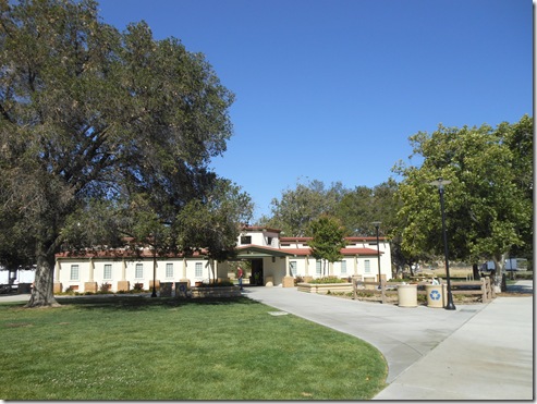
California Highway 101 Camp Roberts rest area 8 miles north of San Miguel.
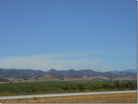
Just keep in mind there is a vast river beneath you fueling the crops all around the freeway when traveling Highway 101 surrounded by arid-looking hillsides during the Salinas Valley summer months.
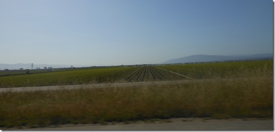
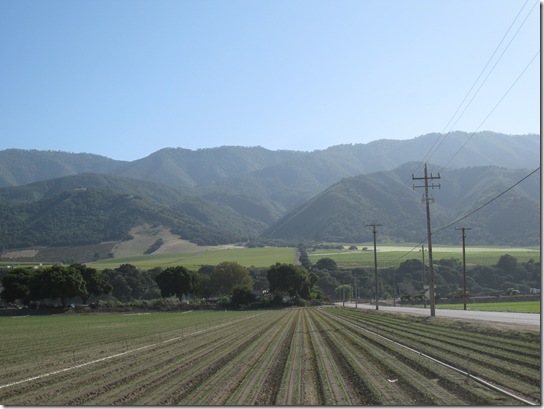
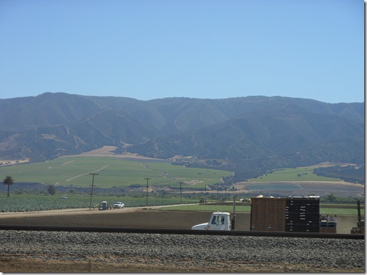
The Salinas Valley is called the salad bowl of the world. A common data point published in numerous articles is 80% of the salad greens consumed in the U.S. are grown in the Salinas Valley. That seems like a high percentage for a relatively small valley, however, visual evidence indicates there are hundreds of square miles of leafy crops growing most of the year in the Salinas Valley.
I wish they would put up signs to designate what crop is being grown. I recognize artichokes and strawberries near the coast, but I can’t tell spinach from cauliflower, broccoli and iceberg lettuce looking at crops in the fields when driving Highway 101 through the Salinas Valley.
Spreckles, California walnut trees planted in 1913 line the road I use to access Highway 101 from Highway 68 out of Monterey to bypass the traffic congestion of truckers and stoplights in Salinas.
The Grapes of Math
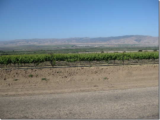
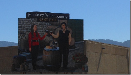
The biggest change to the Salinas Valley over my lifetime and primarily in the past 25 years is the acreage of vineyards in Monterey County. Some of the largest vineyards in the world are located in southern Monterey County. There is money planted around these hills. The region produces about $280 million annually in wine grapes.
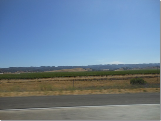
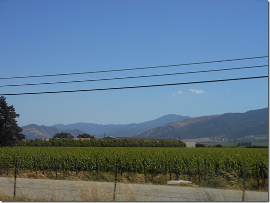
Vineyards stretch for miles in southern Monterey County near King City.
Monterey County has over 175 vineyards in numerous American Viticultural Areas (AVA) for different types of grape production. Chardonnay is the most widely planted grape. Pinot Noir is another popular grape for Monterey County vineyards nearer to the coast.
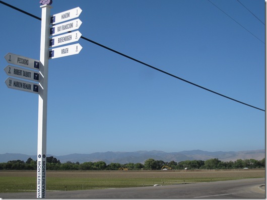
Within the world-class designation of Monterey County, the region has nine American Viticultural Areas (AVAs) that have been identified as truly one-of-a-kind winegrowing districts: Monterey, Santa Lucia Highlands, Arroyo Seco, San Lucas, Hames Valley, Chalone, Carmel Valley, San Antonio Valley, and San Bernabe. These areas are referred to as “appellations†which is a term that identifies the winegrape’s place of origin.
Cool fog from Monterey Bay rolls down the 90-mile long Salinas Valley much of the year. Ocean moisture is sucked into the relatively narrow 10 to 15 mile wide channel sandwiched between the rugged Santa Lucia Mountains that separate the Salinas Valley from the Pacific Ocean along the Big Sur coast and the eastern Gabilan Mountains separating the Salinas Valley from the expansive Central Valley of California.
View of Salinas Valley agricultural fields near Monterey Bay. The Santa Lucia Mountains are seen in the distance bordering the right and the Gabilan Range on the left side of Salinas Valley. These mountain borders close in 90 miles down the valley at the southern end of Monterey County near the San Luis Obispo County line.
The air temperature in summer gets hotter as you travel north to south down the Salinas Valley until the hills in the east and west merge near San Ardo and the daytime temperatures in summer regularly top 100 degrees.
Salinas Valley in Google Maps.
At the coast in Monterey the temperature is mostly in the 60s or low 70s all summer long. The Pacific Ocean moderates the temperature and it rarely gets above 80 degrees around the Monterey Peninsula for more than one or two days at a time, and those high temperatures only happen a few times a year.
For those who do not like the summer fog of Monterey, warmer climates are accessible with a quick 20 minute drive away from the coast.
River Road Wine Trail in northern Salinas Valley. Photo is looking east to Gabilan Range.
River Road Wine Trail is the northwestern portion of the Salinas Valley where grapes are grown in the Santa Lucia Highlands above the valley floor.
Santa Lucia Highlands AVA
River Road runs along the western side of the Salinas Valley beneath the Santa Lucia Highlands. The coastal mountains of the Santa Lucia Range rise to over 5,000 feet.
Looking east across Salinas Valley River Road vineyard to Gabilan Range.
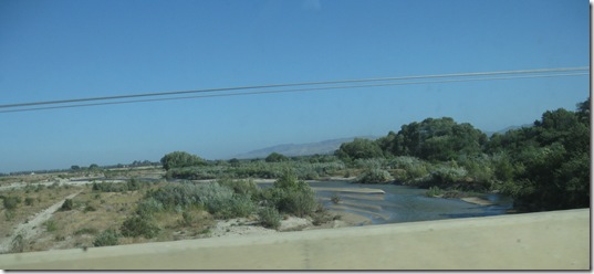
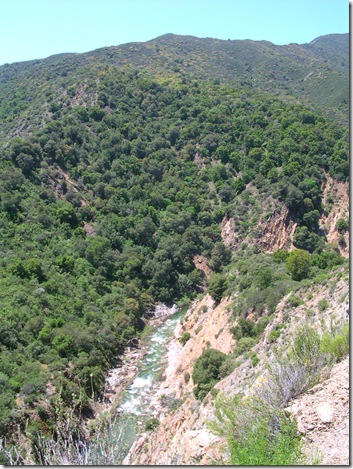
View of Salinas River in May when there is water flowing overground.
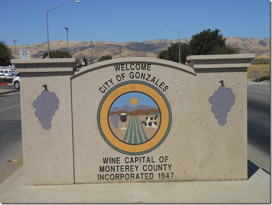
Gonzales is one of the small towns of the Salinas Valley adjacent to Highway 101.
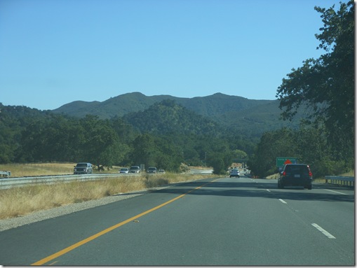
You will be driving Highway 101 through the Salinas Valley to travel north or south unless you are driving the Big Sur Highway 1 coast road through Monterey County.
There are very few roads traversing the Gabilan Range in the hills shown behind the City of Gonzales in my photo. This is the area known as Pinnacles National Monument and these landforms were created in large part from seismic activity generated by the San Andreas Fault running north-south through this range east of the Salinas Valley.
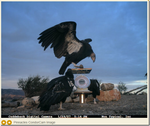
Pinnacles is also a place to go caving. You might possibly even have the good fortune to sight one of the 33 rare California Condors currently residing in the area when you are not underground. The condor is the largest bird in North America.
Condor Cam on the Pinnacles website has nearly 100 photos of condors. This photo from 2007 shows three condors. I once saw California Condor #36 while driving Highway 1 from Monterey to Big Sur in 2008. That is my only condor sighting confirmed by the large number 36 tags visible underneath the wings as Condor 36 flew directly over the open sunroof of our car. This YouTube video filmed from Highway 1 shows a California Condor flying along the Big Sur cliffs. This is a good video since the condor flies over some parked SUV vehicles and reveals the true giant wingspan of these birds.
Back to Salinas Valley
Food crops are planted on the valley bottoms land and vineyards fill the naturally terraced hillsides of the Salinas Valley.
Vineyards on the Santa Lucia Highlands terraces.
Arroyo Seco is a magical place for me. This is where the Santa Lucia Mountains open up into the Salinas Valley. The road through Arroyo Seco links to the Carmel Valley Road for a 50-mile drive through the Santa Lucia range to the coast at Carmel-by-the-Sea.
Arroyo Seco River provides an opening into the Santa Lucia Mountains seen beyond the building in this photo. Carmel Valley Road is accessed through this mountain gap.
Arroyo Seco is an undammed river of the Santa Lucia Mountaina. The river is a fantastic hike with natural swimming pools and narrow gorges where canyon walls rise 50 feet or more. This is a popular summertime wilderness destination.
Greenfield is the cut-off town for traveling to Arroyo Seco from Highway 101.
Arroyo Seco River in Santa Lucia Mountains.
Water from Arroyo Seco and other watersheds of the Santa Lucia Range feed the Salinas River aquifer which in turn feeds the valley’s thirst.
Vineyards around King City, Monterey County.
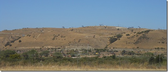
The land in southern Monterey County changes from vineyards to oil fields around San Ardo. The oil fields of San Ardo were discovered in 1947 and San Ardo currently is the 13th largest oil field in California producing millions of barrels over the years.
Oil pumps on the hillsides of San Ardo.
Southern Salinas Valley sits atop the oil rich, Miocene sedimentary rock formation formed 20 million years ago when this area was the sea floor and the remains of diatoms created layers of mud and earth in an oil rich sediment.Â
Black gold is a vital resource in California that has dotted the natural landscape with metal rigs for more than a century. Here are some shocking historical photos of Surf City, USA in Huntington Beach, California when the beach environment was not so pretty in the hey day of oil production.
Paso Robles in northern San Luis Obispo County is a major wine region I plan to explore in depth later this year. Paso Robles is a gateway to the coastal mountain ranges to travel west to the sea or inland to the Central Valley of California.
South of Paso Robles in San Luis Obispo County, Highway 101 rises in elevation to cross over the coast mountains at Cuesta Grade and then the road passes through San Luis Obispo about 30 miles south of Paso Robles. Highway 1 along the Big Sur coast of Monterey County is accessed from San Luis Obispo. Seven miles south of SLO Highway 101 approaches the sea at Pismo Beach.
Highway 101 south of Paso Robles as the road rises in elevation to 1,500 ft.
Travelers heading east to Interstate 5 take Highway 46 to reach the central valley of California. There used to be two signs on Highway 46 about twenty miles east of Paso Robles designating the San Andreas fault and another sign, a couple miles west of the fault, indicated the site of James Dean’s fatal car crash. In 2005 the road junction of Highway 46 and Highway 41 (Fresno) was renamed the James Dean Memorial Highway Junction.
Interstate 5 is potentially a faster route to Los Angeles, but I prefer driving the coast on Highway 101 with its sections of ocean views.
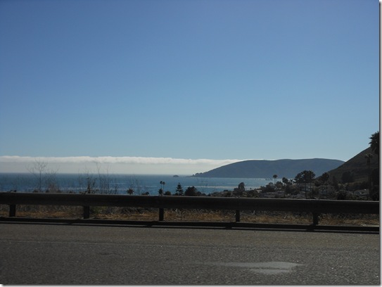
Highway 101 view of the sea at Pismo Beach, California in San Luis Obispo County.
This is another post in my series to better know my locale of Monterey County, California.
Ric Garrido, writer and content owner of Loyalty Traveler, shares news and views on hotels, hotel loyalty programs and vacation destinations for frequent guests. You can follow Loyalty Traveler on Twitter and Facebook and RSS feed.


