Here is a photo walk of my stomping grounds around Monterey as I walked north from Sand City to Fort Ord Dunes State Park a couple of weeks ago.
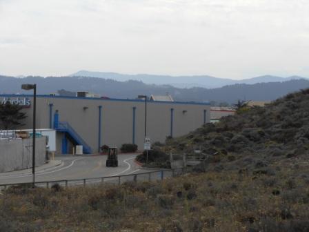
Edgewater Shopping Center in Sand City is one of the biggest changes in the Monterey area since 1980. This is where the local Costco is located.
Many California cities are unrecognizable after the past thirty years of growth with population doubling, tripling, and even more since 1980. This is what happened a dozen miles inland from Monterey Bay in Salinas, California.
The towns of Monterey, Pacific Grove, Seaside and Marina along the shores of Monterey Bay have basically not increased population at all. Monterey actually had a population decline in the past decade.
This area is beautiful with forests of Monterey pines and Cypress trees up to the shoreline.  Beauty comes with a high price. There are few job opportunities and a high cost of living. This is a place where the Highway 1 traffic jams result from workers driving in the morning to the Monterey Peninsula cities for restaurant, hotel and tourism jobs and leaving in the afternoon to go home to places where they can afford to live.
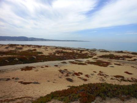
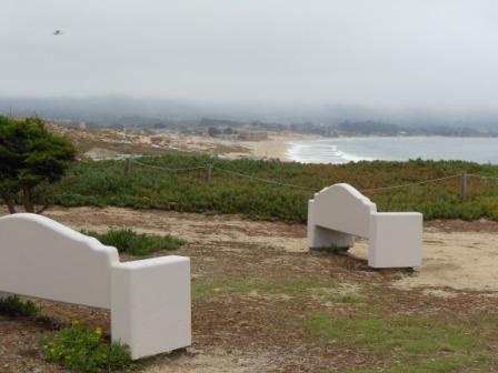
Fort Ord is where I was born. The army base was the largest military base in the country to be closed at the time it officially shut down in September 1994. The closure impacted my family when my parents relocated to another area to be near military medical facilities.
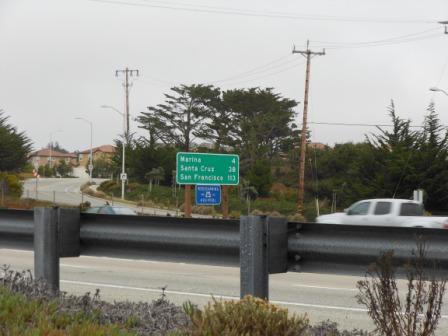
Sand dunes are the prominent coastal feature between Monterey and the Elkhorn Slough in Moss Landing in the center of the Monterey Bay crescent. I spent hours upon hours walking through the sand dunes north of Fort Ord between Marina and Castroville when I was a student at Seaside High School in the 70s.
The 1970s were an environmentally destructive time for beach dunes outside the military base too in those years. Beach parties were a regular event in the Marina dunes and the popular entertainment was partying around bonfires while watching people try to drive trucks to the top of steep sand dunes.
Marina Beach was designated a state park in the 1980s. Large portions of the sand dunes areas are off-limits to allow plant restoration and reduce erosion.
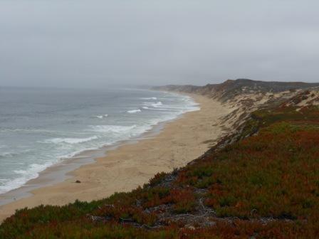
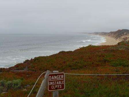
Only in the last couple of years did I learn that our prominent sand dunes and landscaping feature called “iceplant”, abundant around Monterey Bay, is a non-native invasive species primarily native to South Africa and Chile. I don’t know why it is called iceplant, but if you have ever driven on it, you might realize why it has the name. There are hundreds of species and at certain times of the year they produce colorful flowers.
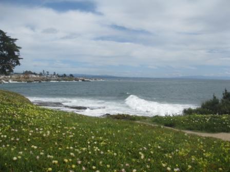
I have stunning pictures of vibrant purple iceplant flowers in Pacific Grove, but I couldn’t locate them for this post. I noticed the other day I have 120,000 photos on my portable hard drive. I need hundreds of hours to catalog all those photos.
Monterey Bay from Marina to Sand City is a popular place for hang-gliding. The winds blow steadily here much of the year. Fog is common and the summer months tend to be the foggiest months. October to April is our best weather in between rain storms blowing in from the Pacific. When I look back over years of photos I am always struck by the clarity of the air in January.
Tip for photographers is come to Monterey Bay and Big Sur in winter as long as you come in between the Pacific winter storms. This is central coast California and sometimes the daytime temperature in winter even hits the 80s. September and October tend to be the warmest months, when the fog isn’t present. Our warm weather streak in 2011 was three days in the 80s the week after I took this beach dunes walk.
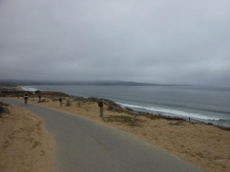
Portions of the bike path through Sand City are regularly bulldozed to remove sand covering the path after strong winds.
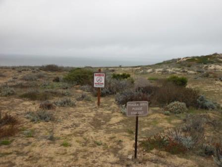
It had been some time since I had the kind of alone time I found in Fort Ord Beach Dunes.


10 Comments
Comments are closed.