I live by Highway 1 on the central coast of California. Pacific Coast Highway from Santa Monica to San Francisco is considered one of the world’s great road trips. So, when I say the vistas of the Blue Ridge Parkway impressed me as an amazing road trip, I have a high standard for comparison.
Driving the Appalachian Highlands on the Blue Ridge Parkway through western North Carolina is one of the most scenic and remote drives I have experienced. I only drove 57 miles of the Parkway, picking up the road from Brevard, North Carolina as my route to Great Smoky Mountains National Park. It took 2 hours 15 minutes to drive 57 miles, stopping for photos several times along the way.
Blue Ridge Parkway is part of the National Park System, although not a national park. It is the most visited park of the National Park System as the eastern access route into Great Smoky Mountains National Park along the North Carolina and Tennessee border. There are no commercial facilities on the Blue Ridge Parkway, i.e. gas stations or commercial signs.
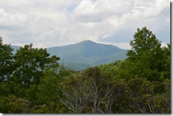
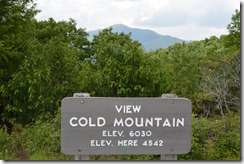
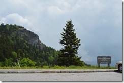
Cold Mountain, North Carolina is the 40th highest peak in the eastern U.S. at 6,030 feet. Mount Mitchell, also in western North Carolina, is the highest peak in the east at 6,684 ft.
Cold Mountain, North Carolina Elevation 6,030 feet.
Cold Mountain in western North Carolina is also the name place for the novel Cold Mountain and movie starring Nicole Kidman and Renee Zellweger. A lack of old growth forest in the area was cited by the film director as the reason why Cold Mountain movie mountain scenes were filmed in Romania.
In the 1890s, Cold Mountain, North Carolina was part of G.W. Vanderbilt’s Biltmore Estate – America’s largest private residence. His widow sold most of the estate’s 80,000 acres of forest land in 1914 to the federal government to create Pisgah National Forest. The national forest expanded greatly in the past century and now encompasses 512,000 acres. Nearly 47,000 acres of old growth forest in western North Carolina are located in Pisgah National Forest.
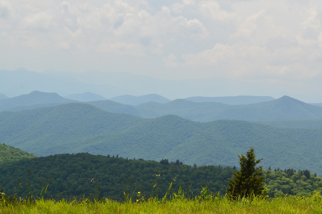
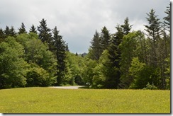
Blue Ridge Parkway winds around the mountain ridges of western North Carolina with frequent pull-outs for incredible vistas.
The most unexpected aspect of driving the Blue Ridge Parkway was how unpopulated the land looks from the many overlooks. This is truly backwoods country. I entered the Blue Ridge Parkway 57 miles east of Great Smoky Mountains National Park and spent more than two hours to reach the National Park visitor center. There were few structures seen over those miles.
Blue Ridge Parkway is 469 miles in length along the eastern Appalachian Mountains through Virginia and North Carolina. I drove the southernmost and highest road elevation portion of Blue Ridge Parkway, between Asheville and Great Smoky Mountains National Park. Like much of the finest National Park System infrastructure in the USA, Blue Ridge Parkway project was created during the Great Depression. By World War II the road was half completed. Blue Ridge Parkway was nearly completed in the 1960s with the last section finally completed in 1987.
Blue Ridge Parkway road seen in distance near mountain ridge top.
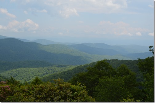
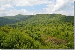
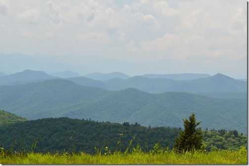
I have dozens of photos showing expansive vistas of forest covered hills as far as the eye can see.
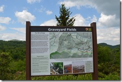
Graveyard Fields is a popular hiking trail off Blue Ridge Parkway.
The rapid deforestation of the borderlands along the Appalachian Mountains of western North Carolina and southeastern Tennessee motivated an environmental movement to conserve the area in the 1920s. Clear cutting on mountainsides created severe flooding of mountain valleys and small farms as rains carried topsoil into streams and rivers.
The Confederate Veterans Memorial Forest was created during World War II when the United Daughters of the Confederacy planted a 125 acre forest with 125,000 trees to honor the 125,000 Confederate soldiers from North Carolina.
The Charleston church massacre at Emanuel African Methodist Episcopal Church happened the week following my road trip through the south. The stature of the Confederacy in southern culture became a significant topic for debate in summer 2015.
Devil’s Courthouse is a spot where four states can be seen on a clear day from North Carolina to Georgia, South Carolina and Tennessee.
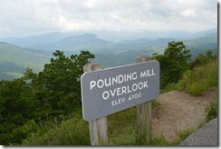
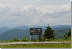
Caney Fork Overlook – Elevation 5,650 feet.
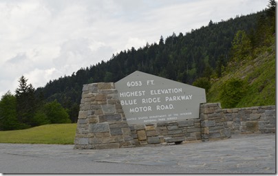
The highest point on Blue Ridge Parkway Motor Road is Richland Balsam Overlook at 6,053 feet.
6,053 feet – highest elevation Blue Ridge Parkway Motor Road.
Eastern Cherokee Nation in the Qualla Boundary
Limited time and a change of plan to spend another night in Asheville meant I missed spending the night in Cherokee, North Carolina. In retrospect, I regret missing Cherokee. The place is significant in American culture. After an intense two-hour drive along the Blue Ridge Parkway to reach the Cherokee turnoff, I was happy that I did not try to drive to Cherokee in the dark the night before.
The Qualla Boundary is a large Cherokee Indian reservation of 82.6 square miles, nearly 53,000 acres of land space, off the Blue Ridge Parkway in western North Carolina, near the entrance of Great Smoky National Park.
Qualla is the homeland for descendants of 800 Cherokee who remained in the area now known as the Qualla Boundary of North Carolina, while other eastern woodlands tribes were subjected to the congressional Indian Removal Act in the 1830s. Seminoles, Creek, Choctaw and Cherokee moved west or were moved west. The Trail of Tears resulted in thousands of Cherokee perishing as more than 15,000 Cherokee were relocated to Oklahoma territory. Most Cherokee today are members of federally recognized Oklahoma-based tribes.
There is an interesting story about how two people possibly saved a nation. A locally-born white resident, William Holland Thomas (1805-1893), fatherless at birth, had been adopted as a teenager into the Cherokee tribe by Chief Yonaguska. He worked in a store and learned Cherokee language as a child. As an adult and self-educated lawyer, Thomas purchased land using Cherokee funds and his own funds. Cherokee could not own land. The Qualla became the homeland for the remaining Cherokee in isolated western North Carolina. These lands are now federally recognized as the Qualla Boundary, a land trust for the Eastern Cherokee Nation.
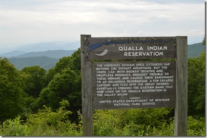
Qualla Indian Reservation
The Cherokee Domain once extended far beyond the distant mountains, but the white man, with broken treaties and fruitless promises, brought trouble to these Indians, and caused their banishment to an Oklahoma Reservation. A few escaped capture and fled into the Great Smokies, eventually forming the eastern band that now lives in the Qualla Reservation in the valley below.
United States Department of Interior – National Park Services
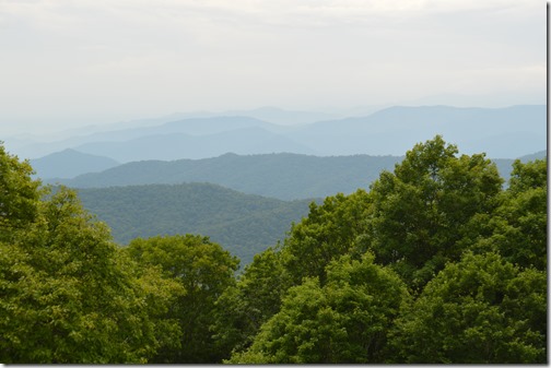
A day spent driving Blue Ridge Parkway and across Great Smoky Mountains National Park revealed a land of hills, mountains, forests and valleys as far as the eye can see.
Blue Ridge Parkway view looking out to Great Smoky Mountains National Park.
Another 20 minutes of driving and I was at the Oconaluftee Visitor Center at the eastern entrance of the National Park in North Carolina.
Loyalty Traveler Road Trip Orlando to Knoxville June 4-9, 2015
- Orlando to Knoxville road trip in 1,100 miles–my outline of destination articles.
- Daytona Beach, Florida – Babes, Bikes and Speed at Daytona Beach
- Jekyll Island, Georgia from historic country club to State Park This article was accidentally published when I had only described the Jekyll Island Causeway. Rather than delete it, I left it posted and the story of the transformation of Jekyll Island from historic country club to Georgia State park continues in the post below.
- Jekyll Island, Georgia History and Jekyll Island Club Hotel
- Best Western paid me $11 for my Georgia hotel night
- Georgia Sea Turtle Center and Hospital, Jekyll Island, Georgia
- Westin Jekyll Island, Holiday Inn Resort and Quality Inn Jekyll Island
- Savannah, Georgia Historic Buildings and New Hotels
- The Brice, Savannah, a Kimpton Hotel
- It’s Tybee Time on Savannah Georgia’s Barrier Island beach
- Fort Pulaski National Monument and Civil War history in Savannah region
- Tall Trees at Congaree National Park, South Carolina
- Footloose and roaming Asheville, North Carolina
- Biltmore Estate, Asheville, North Carolina
- The Inn at Biltmore, Asheville, North Carolina
- Asheville Vibrant Craft Beer Scene
- Chasing Waterfalls in DuPont State Forest, Western North Carolina
- White squirrels, black bears and waterfalls in Pisgah National Forest, North Carolina
- Blue Ridge Parkway Motor Road, North Carolina
- Great Smoky Mountains National Park
- Gatlinburg and Pigeon Forge, Tennessee



3 Comments
Comments are closed.