Spending the night at 9,000 feet in elevation at the Mammoth Mountain ski resort reminded me of the time I stayed in Quito, Ecuador (9,350 feet). I walked around Quito feeling naturally high with dreamy thoughts floating around my head and big picture ideas jotted down in my journals. I bought a painting in Quito of a locomotive train floating in the sky above the mountains and city. That painting symbolizes the bizarre state of mind I felt living high up in thin air.
I woke up yesterday in Mammoth with stream of consciousness thoughts, wrote an ADD structured blog post and then apprehensively went to see if a bear or woolly mammoth had ransacked my car where I had left three day old chicken from Colorado sitting in the dry ice chest. Even the bears did not desire that buffalo sauce chicken from Beaver Creek.
The car was untouched and I immediately tossed the forgotten old food from the ice chest before starting the 33-mile drive to Tioga Pass, Yosemite National Park.

Still skiing on Friday, May 17 at Mammoth Mountain. Some years skiing conditions last to July.
Four miles down the mountain to Mammoth Lakes Village and I was feeling sickly from lack of food and high altitude.
The night before I had seen a sign in the village advertising $4 breakfast.

Old New York Deli & Bakery, Mammoth Lakes, CA.
$4 breakfast consisted of two eggs, potatoes and toast. Food along with a $2 extra large coffee, brought my floating head sufficiently down to earth for driving 33 miles north through Long Valley to Mono Lake and then up Tioga Pass for the 59-mile drive through the high Sierra of Yosemite National Park.
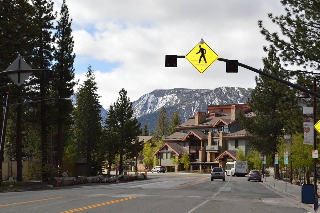
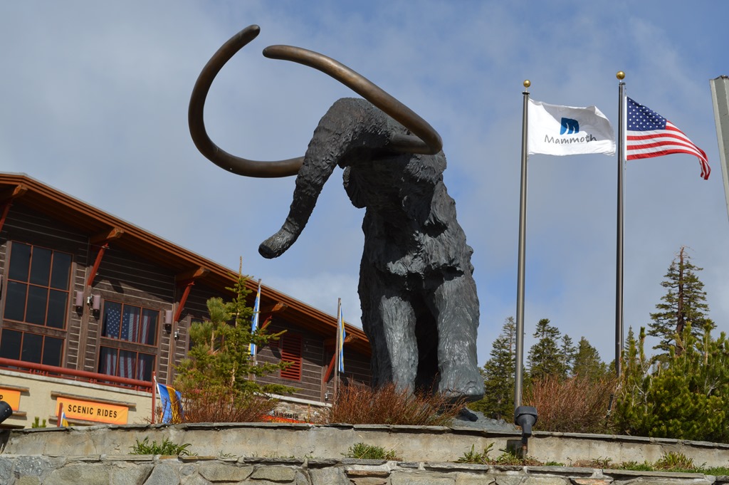
Mammoth Lakes is a high altitude winter ski and summer adventure resort town at 7,880 feet in elevation. This is the place where athletes come for endurance training. The village is great for breakfast deals.
Mammoth Mountain (11,059 ft.) is located on the southwestern edge in the Long Valley caldera. This is one of the largest calderas on earth, about 20 miles east-west and 11 miles north-south, formed from a volcanic eruption some 760,000 years ago. The Mammoth Lakes area of the Eastern Sierra is still seismically active with major earthquake potential.

Mammoth Lakes, California.
The Eastern Sierra is a rugged and visually stunning landscape. Much of this mountain area is protected in three National Parks: Yosemite, Kings Canyon and Sequoia.
The Eastern Sierra is difficult to access from coastal California most of the year when the few mountain passes are snow covered and even when plowed, often require snow chains. I have traveled this region only in summer before this current trip. I think the Eastern Sierra mountains are more visually stunning after most of the snow has gone and the barren rock faces are the dominant feature of the landscape.
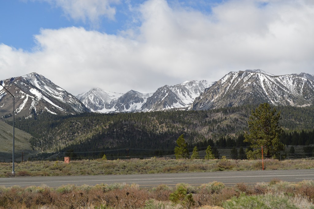
View of Eastern Sierra from Highway 395 north of Mammoth Lakes, California.
Near Mono Lake are the Mono Craters, the youngest volcanic region in North America, created some 40,000 years ago.
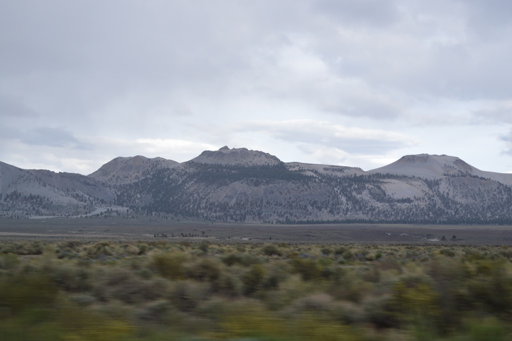
Mono Craters south of Mono Lake.
The inside cover of Pink Floyd’s album Wish You Were Here featured ‘The Diver’ photograph taken at Mono Lake by photographer Storm Thorgerson who passed away one month ago on April 18, 2013. Storm designed many rock album covers for Pink Floyd and others like Led Zeppelin’s Houses of the Holy,
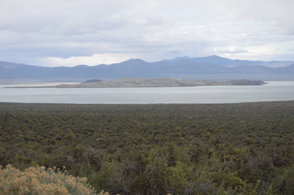
Mono Lake, California
The Pink Floyd Wish You Were Here album art features the calcium carbonate tufa spires of Mono Lake. I was just five miles from the South Tufa area where the limestone spires can be seen, but Yosemite was foremost on my mind and getting through the high mountains was my priority before storm clouds forecast for later in the day.
Mono Lake Tufa State Natural Reserve will be a journey for another day.
Tioga Pass is the highest paved road mountain pass across the Sierra Nevada in California at 9,945 feet. The pass generally opens in mid-May and opened May 11 for the 2013 season.
California State Route 120 is the road I drove from Benton to Mono Lake with the five miles of dips.
The entire 59-mile section of Highway 120 through Yosemite National Park is called Tioga Pass.
Much of the Tioga Pass road through Yosemite National Park is at 8,000 feet or higher in elevation with scenic views of sheer cliffs, large boulders, meadows and lakes.
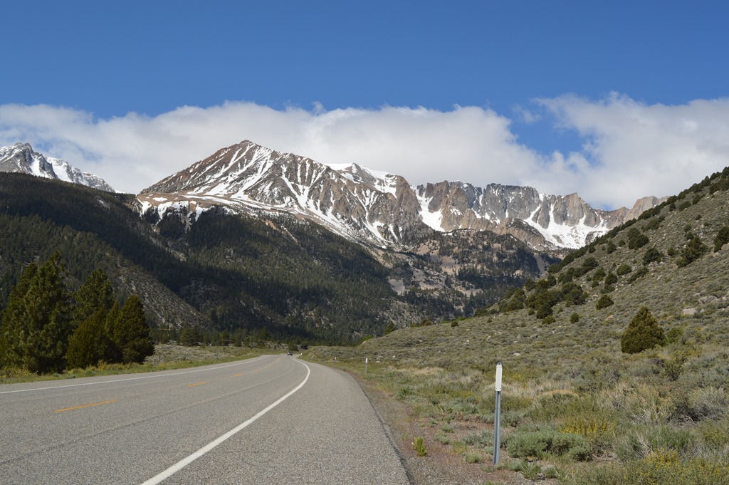
California Highway 120 west looking up to the high Sierra of Yosemite National Park.
Next up Tioga Pass, Yosemite National Park.

5 Comments
Comments are closed.