The Santa Monica Mountains are the dominant feature of Pacific Coast Highway on the 50 miles from Oxnard to Santa Monica. The crumbling coast ridge of mountains comes right to the sea and the road winds along the rock faces for this stretch with Malibu houses and estates sprinkled around like large boulders on loose soil waiting to be washed or shaken into the sea.
A few roads turn inland from Highway 1 into rugged canyons of the Santa Monica Mountains with place names like Point Magu and Mulholland Highway and Topanga Canyon.

Looking north on PCH – Highway 1 to Pacific Palisades and the Santa Monica Mountains. Santa Monica is just south of here.
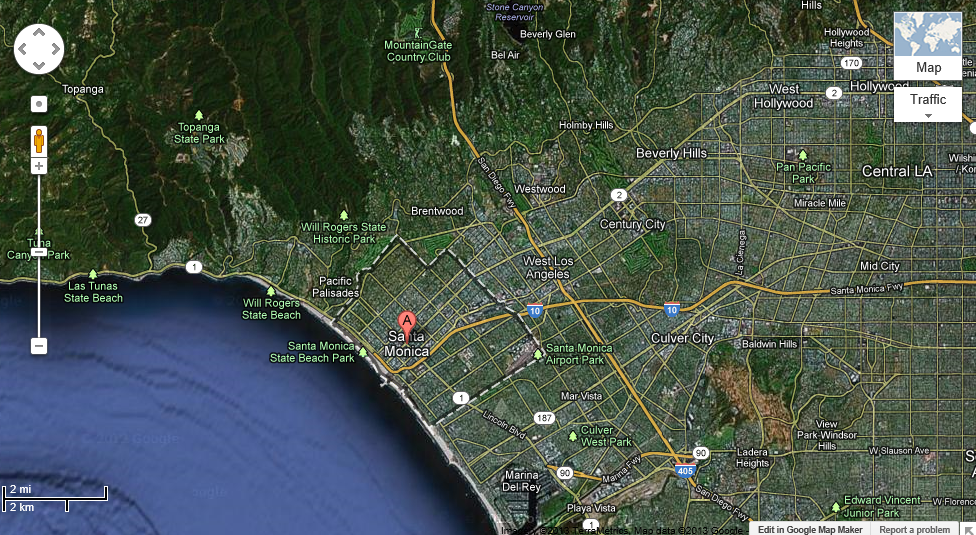
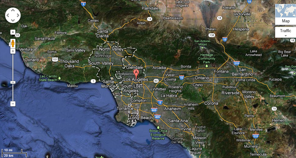
Santa Monica on Google Maps satellite. LAX Airport is just out of the picture south by the beach.
Santa Monica Beach
The beach here is wide and long with beachside hotels and restaurants, entertainment and entertainers.
My first stop by chance was due to a plaque on the side of a building I walked by dedicated in 1999 to John Jalili, Santa Monica City Manager, for his efforts in the restoration of the Hotel Casa del Mar.
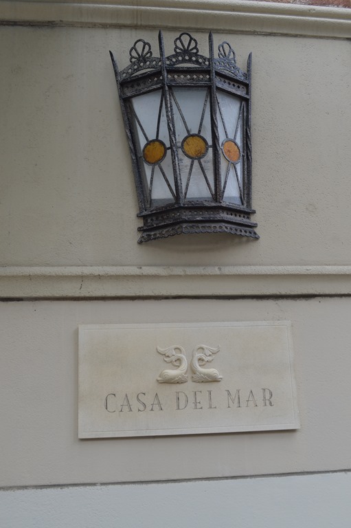
Hotel Casa del Mar, Santa Monica, California.
I detoured inside the hotel before reaching the beach.
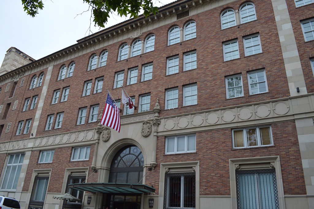
Hotel Casa del Mar front street entrance.
The hotel originally opened as a Beach Club in 1926.
During World War II the building was a hotel and recreation center for soldiers.

Hotel Casa del Mar front entrance lobby.
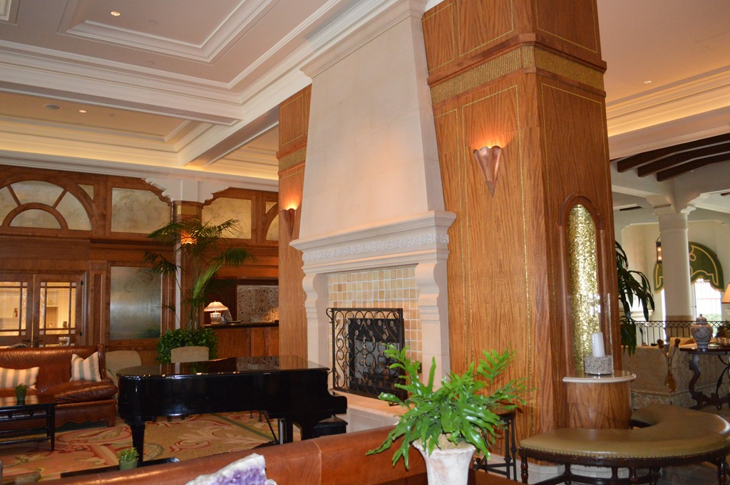
Seating areas in lobby at Hotel Casa del Mar.
The hotel is a member of LHW – Leading Hotels of the World.

Beach facing side of Hotel Casa del Mar.
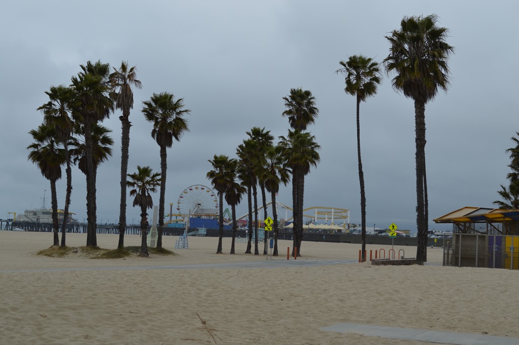
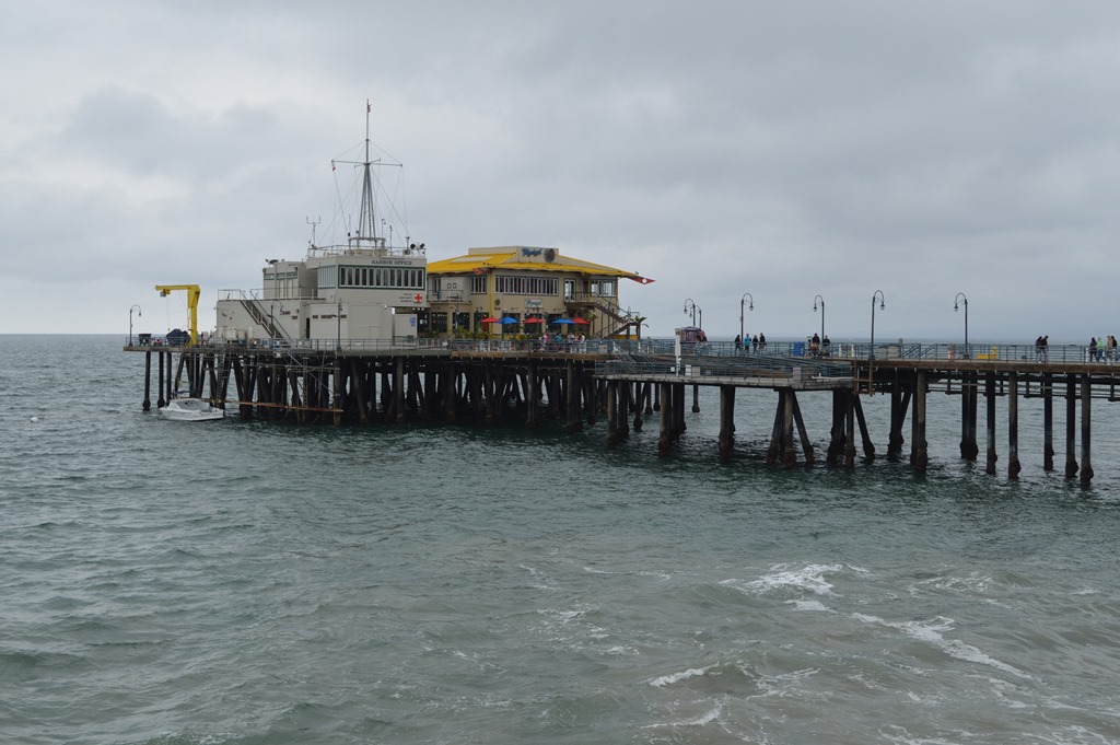
Santa Monica Beach and Pier on foggy weekday April 24, 2013.
There are bicycle rental outfits around the beach area or bring your own. Riding a bike from Santa Monica to Venice Beach can be a fun time people watching.
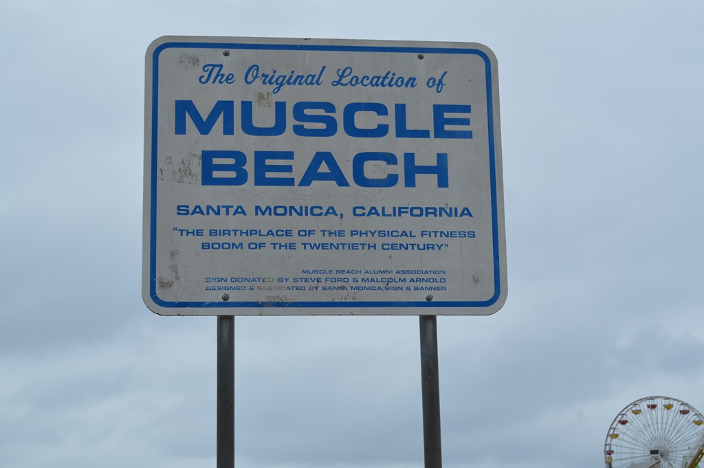
Original location of Muscle Beach Santa Monica, California. Now Muscle Beach is found in neighboring Venice Beach a few miles south.
There is plenty of physical activity and exercise happening on the beach, even on a foggy day with the air temperature around 60 degrees.

Woman boxing on the Santa Monica beach and man working ring exercises.
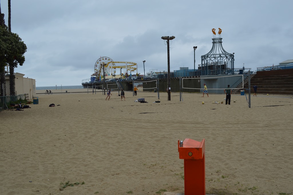
Santa Monica Pier
The Santa Monica Pier is a colorful light spectacle at night. I had that vision in January 2013 as I passed by around 9 pm on a clear night.
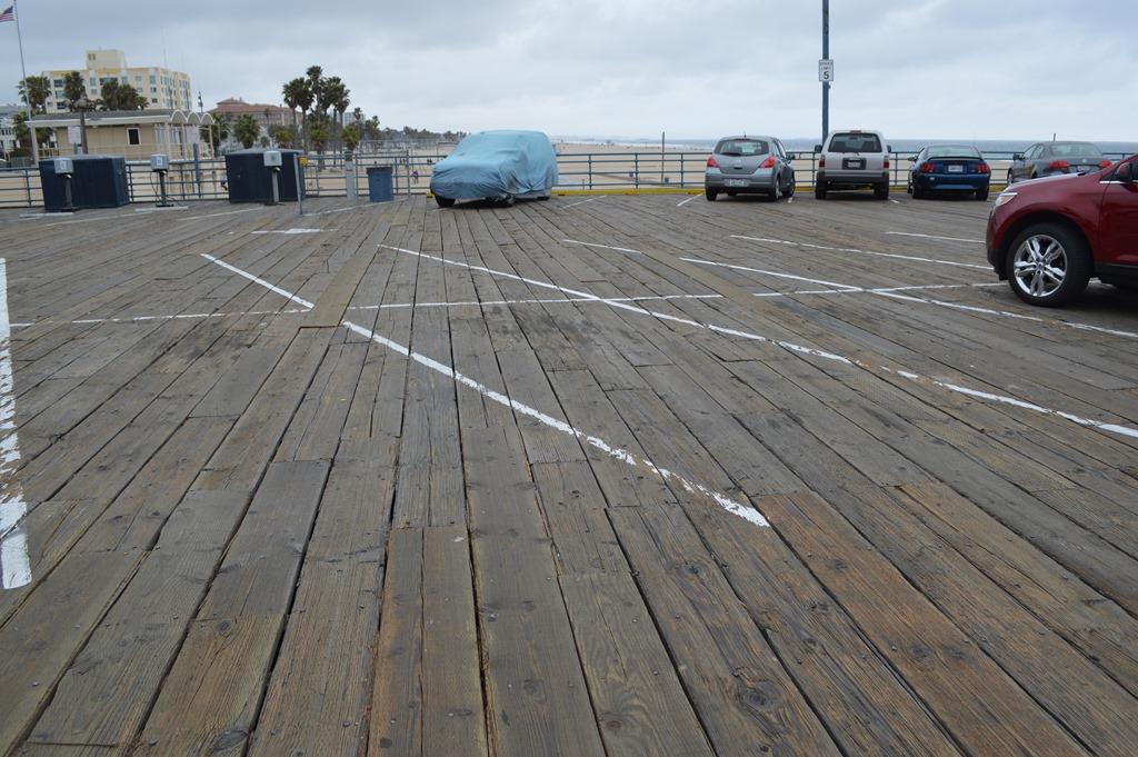
Santa Monica Pier is mostly a wood pier.

Pacific Park is the first section of the pier and there are restaurants at the end of the pier.
Santa Monica Pier.
The pier is a tourist trap with an expensive amusement park and restaurants, but a fun place to visit all the same. Performers and artists work the pier doing shows, photographs, portraits and such.

Pacific Park at Santa Monica Pier.
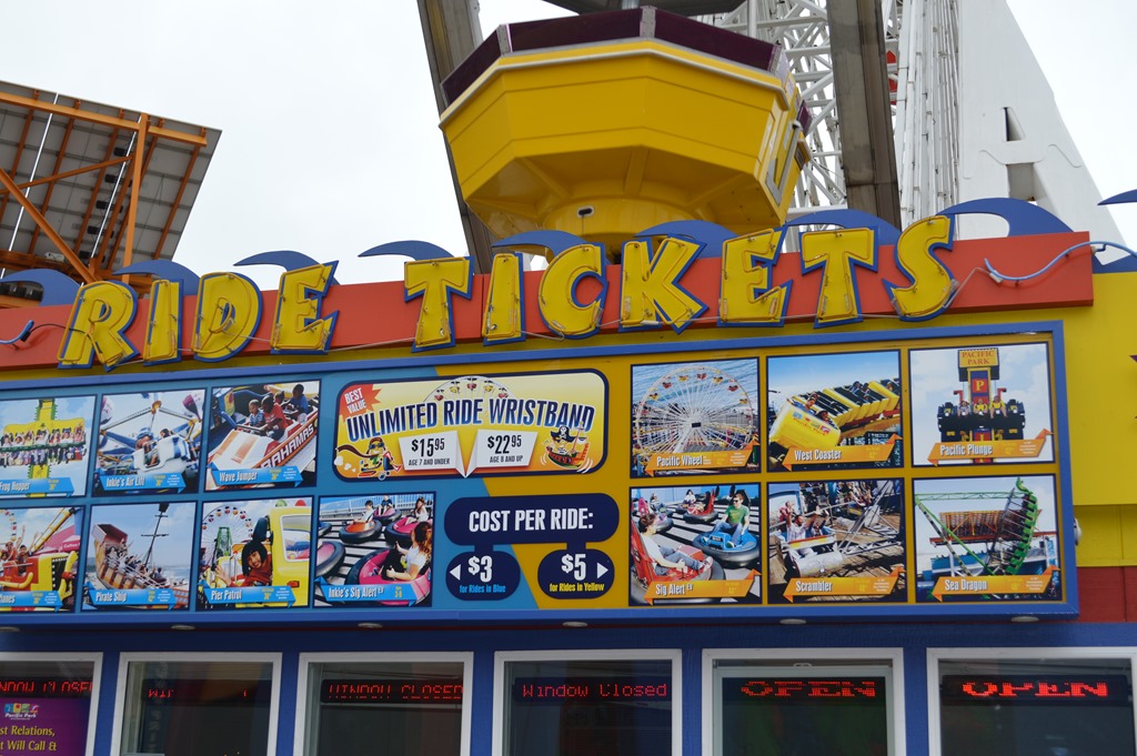
Pacific Park ride tickets.
The beach was starting to attract some people early in the afternoon despite the sun’s refusal to show up for the day.
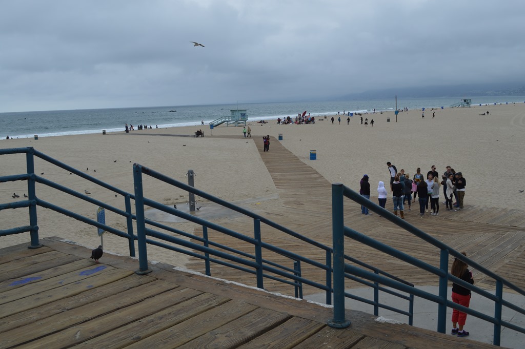
Santa Monica Beach north of the Pier.
After seeing the beach and the pier, I wandered into town to see the Sheraton Delfina Santa Monica, a Starwood Hotel that is directly across the street from Santa Monica High School.
Living in the Past
Santa Monica is now where you pick up Interstate 10 to travel east through Los Angeles and Palm Springs and all the way to Phoenix and San Antonio and Houston, Baton Rouge in Louisiana, Mobile in Alabama and finishing up in Jacksonville, Florida over 2,460 miles of road.
Santa Monica was also the western end of historical Route 66, a major road for travelers to California before the interstate system started in 1956.
Chicago was the eastern terminus of Route 66.
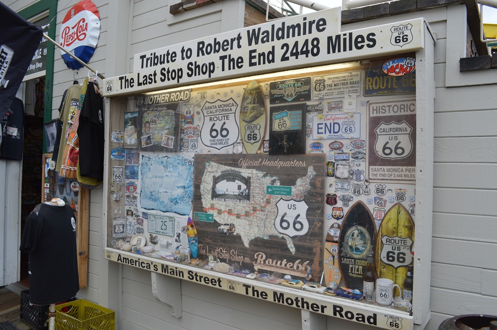
Chicago to Santa Monica 2,448 miles on Route 66.
These days the route from Santa Monica to Chicago is via several differently numbered Interstate Highways starting on I-10 in Santa Monica and changing to I-15 while still in the Los Angeles area basin. Las Vegas is unavoidable followed by a highway change in the middle of the Utah desert to I-70 and across the Rocky Mountains to Denver, connecting to I-80 in Wyoming to continue to Chicago for a 2,031 mile journey.
Los Angeles is surrounded by mountain ranges to the north and east if you are not familiar with the area. The ocean is west and south. All the 13 million people are squeezed in between the natural barriers of rocks and water. Desert is a natural barrier in many places of the southwest USA, but LA just built up on top of the dusty rock.
These days Interstate 80 from San Francisco to Chicago is a direct route through Nevada, Utah, Wyoming, Nebraska, Iowa and Illinois over 2,132 miles of road.

Route 66 map through Los Angeles County inside Santa Monica Visitors information center.

4 Comments
Comments are closed.