Mt. Whitney is the tallest peak in the 48 states at 14,505 ft. That is one big mountain. And I helped move Mt. Whitney this summer to a new location in California – on Google Maps!
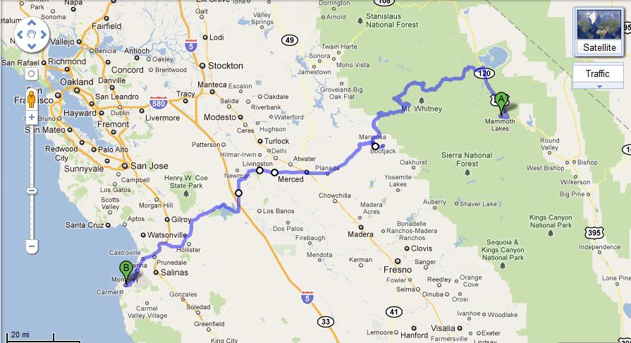
One of the effects of my July ‘Brokeass Mountain tour’ road trip from Monterey, California to Denver, Colorado and back was a couple of hours time spent studying Google Maps and satellite images of the western U.S.
Mt. Whitney, California is one landmark on Google Maps that I noticed was glaringly out of place with its marker directly in the boundaries of Yosemite National Park.
[click on image to see full size]
On the right side bottom of a Google Map is a link to report a problem. I submitted to Google the problem of Mt. Whitney being located about 100 or so miles north on Google Maps of its actual location in the California Sierra Nevada mountain range.
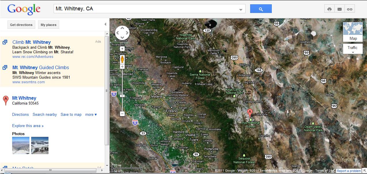
Google Maps emailed me yesterday to state Mt. Whitney has been relocated on Google Maps.
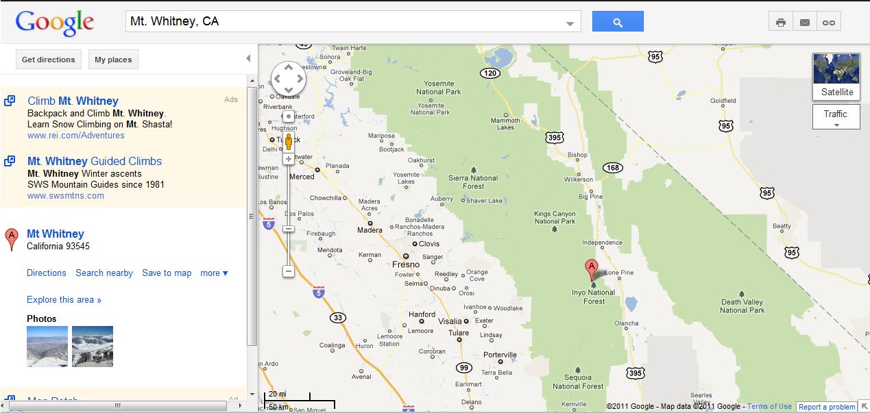
When people ask me what I did last summer, I can honestly say I moved a mountain.

4 Comments
Comments are closed.